Camp Observer
Williams River
Directions
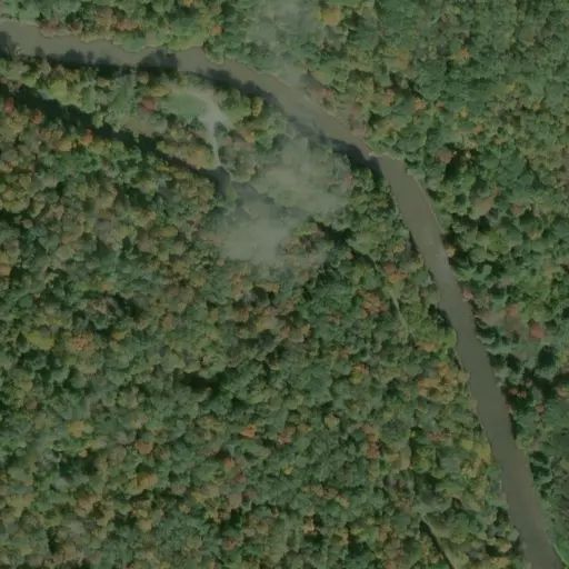
Access to the lower end of the river near Cowen is by Secondary Route 46 and The Williams River Road (Forest Road 86). These roads closely follow the Williams River. The Highland Scenic Highway, Route 150, provides access to the middle section. The Highland Scenic Highway receives no snow removal and can be very dangerous during winter months. The upper end can be reached from Secondary Route 17 off of Route 219. Maps are available online or for sale from the Forest Supervisors office. The Williams River is located on the Cowen, Webster Springs; Webster Springs SW & SE, and the Woodrow U.S.G.S. Quadrangle maps.
Reviews
No reviews yet
Availability
Sites here are first come, first served — there's no availability to check or reserve.
Camp Sites
Availability not checked yet

We don't have availability data yet for camp sites at .
Interested in seeing what camp sites you can reserve here? Check it now, or watch this campground so we keep checking it for you.