Camp Observer
North Fork Recreation Area
Fees
Campground – single site nightly fees are
$10.00/nonelectric
Day Use Area Fees:
$2.00 per vehicle
$10.00 per bus
$20 annual fee
Rules
No motorized vehicles permitted on trail system. No motorized vehicles beyond posted signs.
Fireworks are prohibited.
Campsite parking allows for two vehicles per site. Park only in designated parking areas.
No more than 8 people are permitted at single sites (16 for double sites).
Dogs must be on a 6 foot leash in the campground.
Only collect dead and downed wood for campfires.
Please use trash containers located at the day use area and in the campground
Please adhere to posted speed limits
Campground: Fees will be paid at the fee tubes provided for camping, day use, and the boat launch
Directions
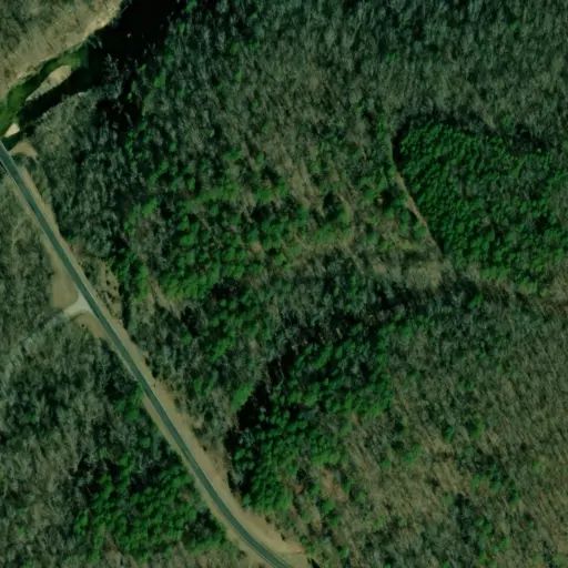
From West Plains, MO take State Route CC west 18 miles The site is on the left side of the road From Dora From Highway 181 just south of Dora, MO for 4.7 miles, Turn left and take State Route CC 3 miles east. The site is on the right side of the road
Stay Limit
No motorized vehicles permitted on trail system. No motorized vehicles beyond posted signs.
Fireworks are prohibited.
Campsite parking allows for two vehicles per site. Park only in designated parking areas.
No more than 8 people are permitted at single sites (16 for double sites).
Dogs must be on a 6 foot leash in the campground.
Only collect dead and downed wood for campfires.
Please use trash containers located at the day use area and in the campground
Please adhere to posted speed limits
Campground: Fees will be paid at the fee tubes provided for camping, day use, and the boat launch
Reviews
No reviews yet
Availability
Sites here are first come, first served — there's no availability to check or reserve.
Camp Sites
Availability not checked yet
We don't have availability data yet for camp sites at .
Interested in seeing what camp sites you can reserve here? Check it now, or watch this campground so we keep checking it for you.