Tate's Hell State Forest Whiskey George Primitive Group Campsite

Show on map850-681-5950
865 Geddie Road, Tallahassee FL 32304
Tallahassee, FL 32304

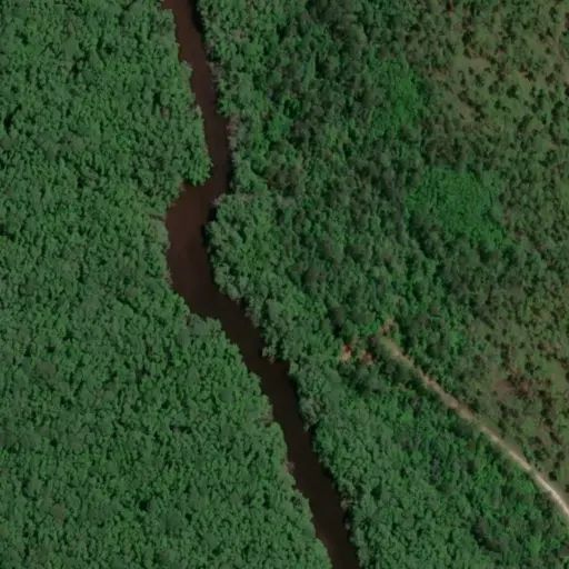
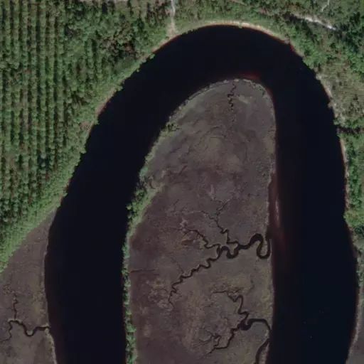
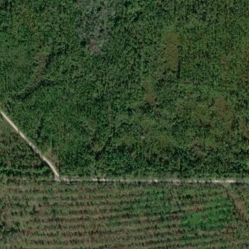
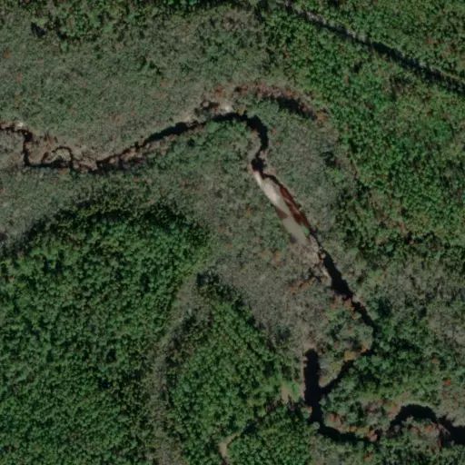
Tate’s Hell State Forest is approximately 212,645 acres located in Franklin and Liberty counties, sharing a border with the Apalachicola National Forest to the north. Tate’s Hell is a large patchwork of flatwoods and savannahs with an intricate web of creeks and wetlands. The forest features the unique dwarf cypress that only reach a mature height of about 15 feet, with some trees estimated at over a century old. Pitcher plant prairies hold a diverse mixture of carnivorous plants, wildflowers and grasses. The carnivorous plants include glistening sundews, butterworts, bladderworts and several species of pitcher plants which trap insects in their erect trumpet-shaped leaves. Tate’s Hell is home to a rich array of wildlife including deer, turkey, black bear, alligators, and many resident and migratory birds. The forest offers space, solitude, and unique natural beauty to the visitors.

Tate’s Hell State Forest lies between the Apalachicola and Ochlockonee Rivers and offers some outstanding recreation opportunities. Womack Creek campground offers 12 campsites with access to bathhouse, picnic pavilion and boat ramp. Rock Landing Recreation Area provides 3 campsites with access to vaulted restroom, picnic pavilion and boat ramp. Cash Creek Campground has 13 campsites with access to vaulted restroom, bathhouse, interpretive hiking trail, picnic pavilion and boat ramp. County Line OHV campground offers 3 campsites with a vaulted restroom. Other 36 primitive campsites are dispersed throughout the forest mostly along the banks of rivers and creeks. Gully Branch and Vinard’s Place are day use sites for picnicking, fishing or simply relaxing.
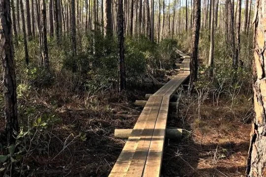
Other recreation opportunities include the High Bluff Coastal Hiking Trail, the Ralph G. Kendrick Boardwalk overlooking the dwarf cypress, and the OHV trail system. The forest is open to hunting and fishing regulated by the Florida Fish and Wildlife Conservation Commission. For more information about hunting and fishing, please visit MyFWC.com

This area is for group camping only.
Facility will accommodate groups of up to 25 people.
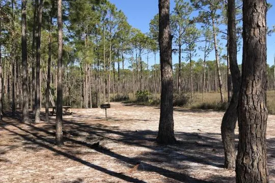
Facility has picnic tables, a large fire ring with benches, stand up grill, boat launch, and a separate designated area to set up hunting dog kennels.

Camp site features

Across 1 camp site:

  • Fire pit: all 1 sites
  • Picnic table: all 1 sites
  • Pets allowed: all 1 sites
  • Group sites: all 1 sites
  • Largest party: 25 people

Fees

Non-Peak Primitive Site $10.00 Non-Peak Standard Full Hookup $22.00 Non-Peak Standard with Electric Hookup $19.00 Non-Peak Standard with Water and Electric Hookups $21.00 Peak Primitive Site $10-$12 Peak Standard Full Hookup $22.00-$24.00 Peak Standard with Electric Hookup $19.00-$21.00 Peak Standard with Water and Electric Hookups $21.00-$23.00

Rules

This area is for group camping only. Warning alligators, snakes, and other wildlife are part of the Natural Habitat. Pets allowed, but must be on leash or kennel. No Consumption or Possession of Alcohol Permitted. Do not feed or molest wildlife, including alligators per Florida Statute 372.667.

Directions

Via I-75:Take I-75 to Exit 309 - CR 476b/CR 673 Webster, FL. From the exit ramp head west on CR 673 turning to the north on CR 673 which changes in road name to CR 476B. Continue north on CR 476B until you arrive at the intersection of CR 476B and CR 476. You will turn left onto CR 476 heading west and go approximately 9 miles towards the blinking light at Broad Street/US 41. You will turn left or head south on Broad Street/US 41. Via Suncoat Parkway:Take the Suncoast Parkway/SR 589 to Exit 46 Cortez Blvd/SR 50 Exit. Go west on Cortez Blvd/SR 50 approximately 4 miles. You will turn right at the intersection of Cortez Blvd/SR 50 and Cobb Road heading north on Cobb Road approximately 2 miles. You will turn right heading west onto Yontz Road. You will continue on Yontz Road approximately 3 miles crossing Ponce de Leon Blvd/US 98 and Howell Avemue to the intersection of Yontz Road and Broad Street/US 41. You will turn left onto Broad Street/US 41 heading north approximately 2.5 miles to the entrance of Colonel Robins on the right/east side of the roadway. Please note the only landmark for the facility is a mailbox on the side of the road with 13000 Broad Street on it.

Stay Limit

Check in from 3 PM, check out by 1 PM.

Reviews

No reviews yet
Availability

See the Camp Sites section below to find detailed booking availability.

Reserve

Camp Sites

Availability not checked yet
No availability

We don't have availability data yet for camp sites at .

Interested in seeing what camp sites you can reserve here? Check it now, or watch this campground so we keep checking it for you.
Nearby Campgrounds