Camp Observer
Muckamuck #346
Directions
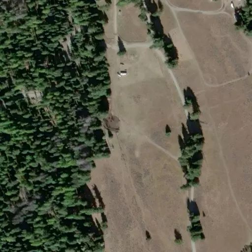
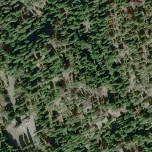
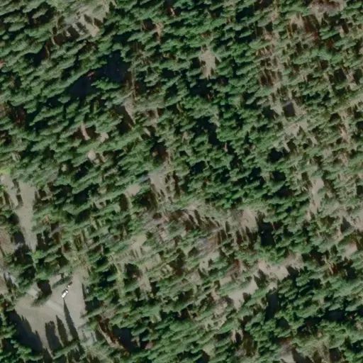
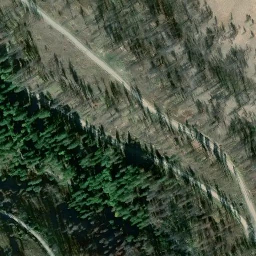
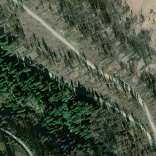
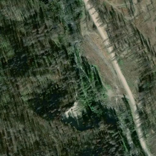
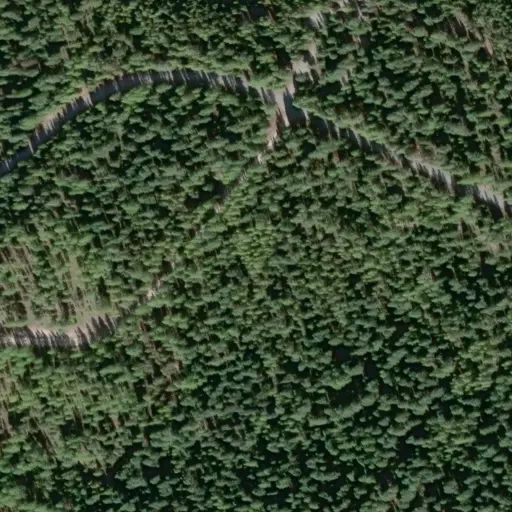
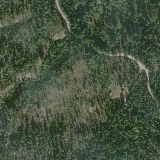
From C o n c o n u l l y , drive through town to the north on County road #2361 which turns into Forest Service Road #38 at Forest Service boundary. Continue on Forest Service Road #38 for 3 miles to Forest Service Road #3825. Drive up Forest Service Road #3825 for 6 miles to start of the trail at the end of the road. Latitude 48.621182 Longitude -119.846464
Reviews
No reviews yet
Availability
Sites here are first come, first served — there's no availability to check or reserve.
Camp Sites
Availability not checked yet

We don't have availability data yet for camp sites at .
Interested in seeing what camp sites you can reserve here? Check it now, or watch this campground so we keep checking it for you.