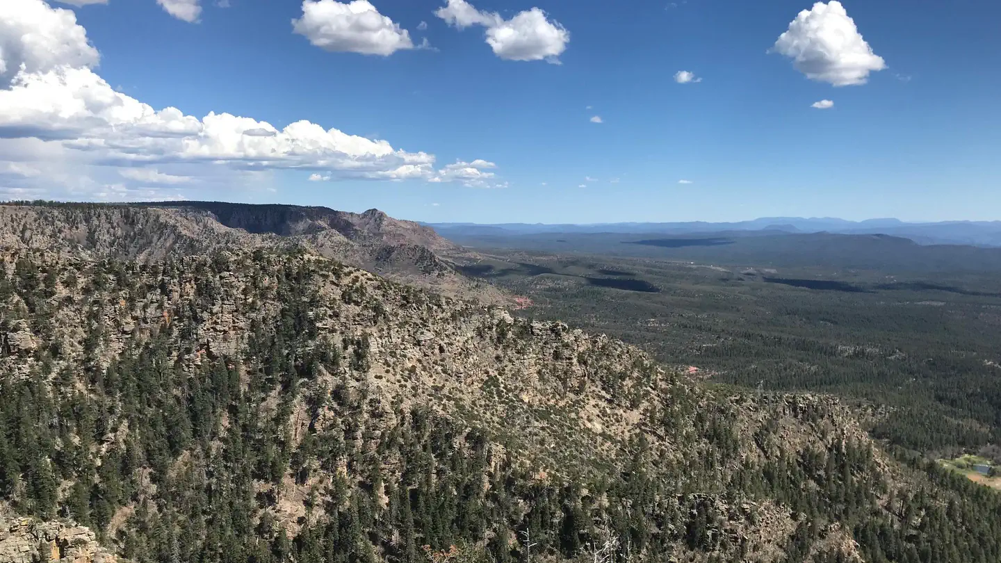
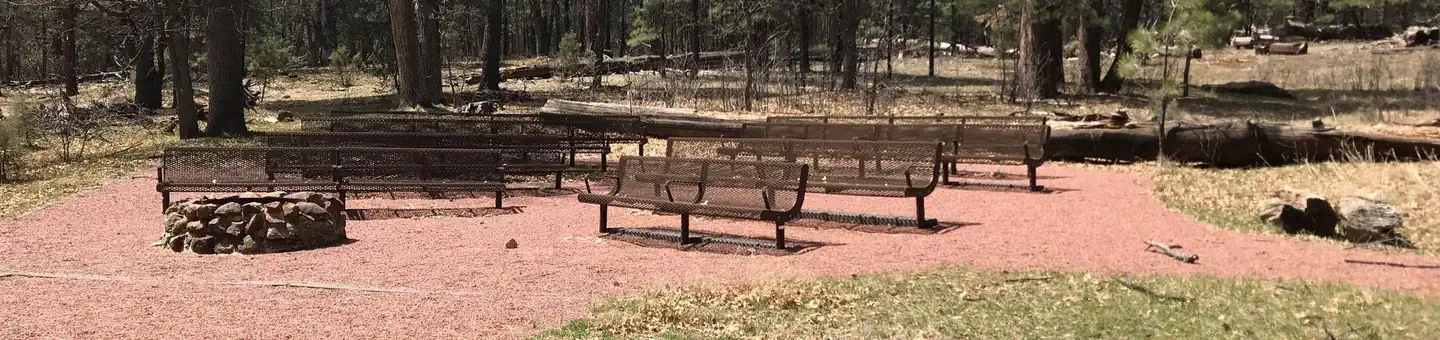
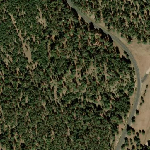
Knoll Lake Campground
![[photo] Knoll Lake - Click for Larger view](http://www.fs.usda.gov/Internet/FSE_MEDIA/stelprdb5301075.jpg) This secluded forest camp offers easy access to two features of high visitor interest.
This secluded forest camp offers easy access to two features of high visitor interest.
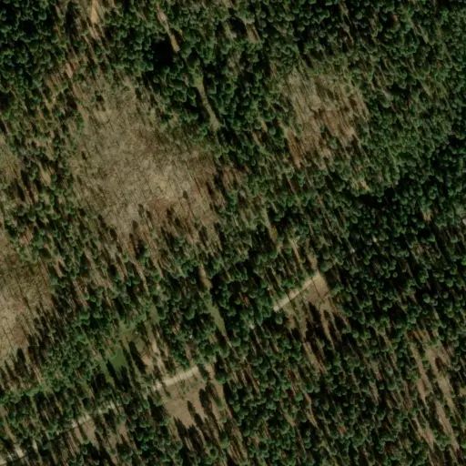
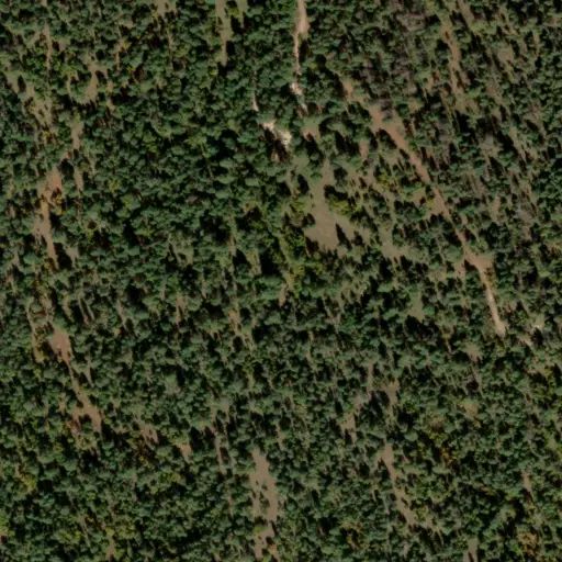
The first is Knoll Lake, a medium-sized body of water tucked away in a picturesque setting. People come here to fish for trout and tour the lake in small boats.
The second feature of interest near this campground is the spectacular Mogollon Rim, a two thousand foot escarpment that marks the southern edge of the Colorado Plateau. This picturesque plunge from cool highlands to low deserts extends across most of Arizona. The area around Knoll Lake, however, is the home of some of the Rim's most magnificent views. It provides a scenic setting for hiking, mountain biking, horseback riding or just sitting back and enjoying the panorama.
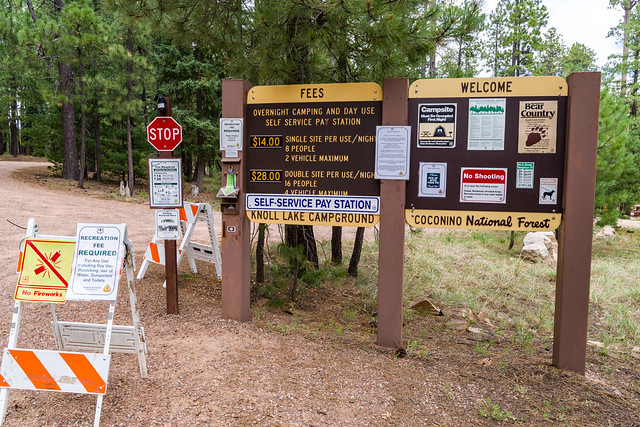
Group Campouts and Events: This campground does not have facilities for large groups or group activities. If one campsite cannot accommodate your group (eight at a single site, 16 at a double site), please call the Mogollon Rim Ranger District at 928-477-2255 to plan your group camp-out at Elks, Moqui, or Long Valley group campgrounds.
Hover mouse over photo to display slideshow controls. View album on Flicker
Directions
Reviews
No popularity data yet