 Camp Observer
Bull Pen Day Use Area & Trailhead
Campground closure
Directions
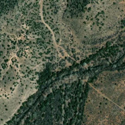
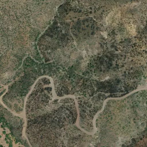
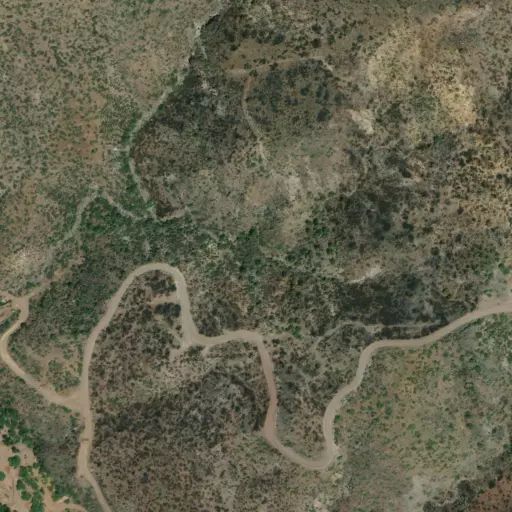
Location : 53 miles south of Flagstaff on paved and graveled forest roads in picturesque Desert Canyon Country. GPS ( Map ): 34°32'23.7"N 111°42'23.8"W Access : Take the Hwy. 179 exit on I-17. Drive about 9 miles from I-17 south-east on FR 618 to FR 215. Turn east and drive about 3 miles to the Bullpen Ranch trailhead. (See Blodgett Basin Trail map on this page)
Reviews
No reviews yet
Availability
Sites here are first come, first served — there's no availability to check or reserve.
Camp Sites

This campground is closed.
Site Temporarily Closed