1 of 1 photo
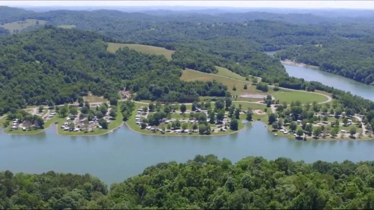
Burnsville Lake Shelters
Directions
To reach Picnic Shelters 1-4: From Clarksburg, drive south on I-79 to Exit 79
(Burnsville). Turn left and proceed through town until you reach a junction.
Turn right onto Route 5 East. Follow approximately 2.5 miles. Turn right and
enter the downstream area.
For Shelter 1: Turn right and enter the downstream area; shelter is next to
the restroom. For Shelter 2: Turn right and enter the downstream area; shelter
is next to the playground and ball field directly below the dam. For Shelters
3-4: Turn left into the Left Fork area adjacent the boat ramp.
To reach Picnic Shelters 5-6: From Clarksburg, drive south on I-79. Take Exit
67 (Flatwoods). Turn left at the stop light and proceed north on Route 19.
Follow for 10 miles. Shelters will be on the left, adjacent to the Confederate
Overlook.
Reviews
Popularity
No popularity data yet
Location