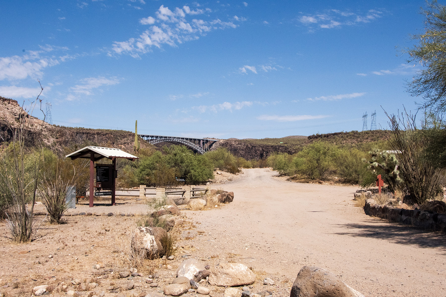
1 of 1 photo
Upper Burro Creek Wilderness
Popularity
No popularity data yet
Directions
A four-wheel drive vehicle is strongly recommended for all access routes.
**Upper Burro Creek Access:**_This route should not be attempted within
several days of major rainstorms or if the possibility of rain is in the
forecast._ Proceed to the town of Bagdad, AZ, and turn right on Lindahl Road.
Follow the road to the junction with the Phelps Dodge Mine Access Road (about
3 miles) and turn right. Drive about 13 miles, following Camp Wood signs, to
Bozarth Road (just past a ranch headquarters). Proceed west on Bozarth Road
for 14.5 miles across Behm and Bozarth Mesas to the rim of Burro Creek Canyon.
Go through the gates and drop steeply down into Burro Creek which marks the
eastern boundary.
**Six-Mile Crossing Access** : _This route should not be attempted within
several days of rainstorms or if the possibility of rain is in the forecast._
Proceed to milepost 132 on Highway 93, located about 7.5 miles south of
Wikieup, Arizona. Take the good unpaved road bearing east at this point.
Follow this road for about 15 miles, until you reach Six-Mile Crossing, which
is a fording of Burro Creek. Cross the creek, and just beyond, pass through a
steel gate. Turn left after the gate, and follow the fence north for about 4.5
miles, paralleling Burro Creek. This area is the southern boundary.
**Sycamore Camp Access:** Proceed to milepost 132 on Highway 93, located about
7.5 miles south of Wikieup, Arizona. Take the good unpaved road bearing east
at this point. Follow this road for 7.8 miles, to a road intersection located
on top of a ridge. Follow this road north for 4.9 miles. At this point there
will be a jeep trail on the right dropping into Cornwall Canyon, which is the
southwest boundary of the wilderness. Another access route is another 3.4
miles north on a jeep trail along a fenceline. Follow this jeep trail about
4.5 miles, turning right at the intersection encountered at 1.0 miles, to
Black Willow Spring. This area is the west boundary.
**Goodwin Mesa Access** : _This route should not be attempted within several
days of major rainstorms or if the possibility of rain is in the forecast._
Proceed to milepost 107.4 on Highway 93, located about 16 miles south of
Interstate 40. Take the good unpaved road bearing east at this point. Set your
trip odometer at zero before starting down the road. At mile 1.6 - turn right
at intersection; mile 2.0 - turn right at intersection; mile 3.6 - turn left
at intersection; mile 4.0 - cross the Big Sandy River; mile 4.4 - straight
ahead at intersection; mile 16.6 - turn right at intersection; mile 18.0 -
turn right at intersection; mile 24.0 - SV Ranch headquarters; reset your
odometer at zero; proceed south and east onto Goodwin Mesa; mile 3.4 - turn
left at intersection; mile 3.5 - cross the Swale Tank dam, a large stockwater
pond; mile 4.4 - go straight at intersection just past gate; mile 7.1 - turn
left at intersection; mile 7.3 marks the western wilderness boundary.
Reviews
Location