1 of 1 photo
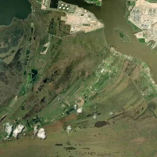
Texas Point National Wildlife Refuge
Directions
Located on Highway 87 in southeastern Texas, near the Louisiana border, it is
approximately 15 miles from Port Arthur and 90 miles east of Houston. From
Sabine Pass, it is 2.25 miles west of the four-way stop. The lat/long
coordinates for the headquarters is 29.668571, -94.073828.
The public can get information and learn about the Texas Point, Anahuac and
McFaddin National Wildlife Refuges at the Texas Chenier Plain Refuge’s visitor
center located in Anahuac, Texas. Here, refuge staff and volunteers are
available to provide maps and other information on all three refuges. The
visitor center is approximately 50 miles west of Sabine Pass, between Baytown
and Winnie, and is about two miles south of I-10 on FM 563. GPS: 29.822737,
-94.663653.
Reviews
Location

