1 of 1 photo
Ten Thousand Islands National Wildlife Refuge
Popularity
No popularity data yet
Directions
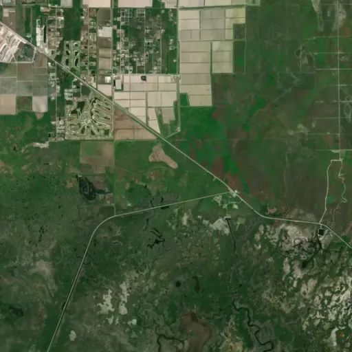
Ten Thousand Islands National Wildlife Refuge is located approximately 20
miles southeast of Naples, FL on the south side of US HWY 41. The eastern
boundary lies just east of the Port of the Islands community and Fakahatchee
Strand State Preserve. The western boundary is adjacent to Collier-Seminole
State Park. The refuge surrounds the town of Goodland, just off of County Road
92. The Gulf of America forms the southern boundary.
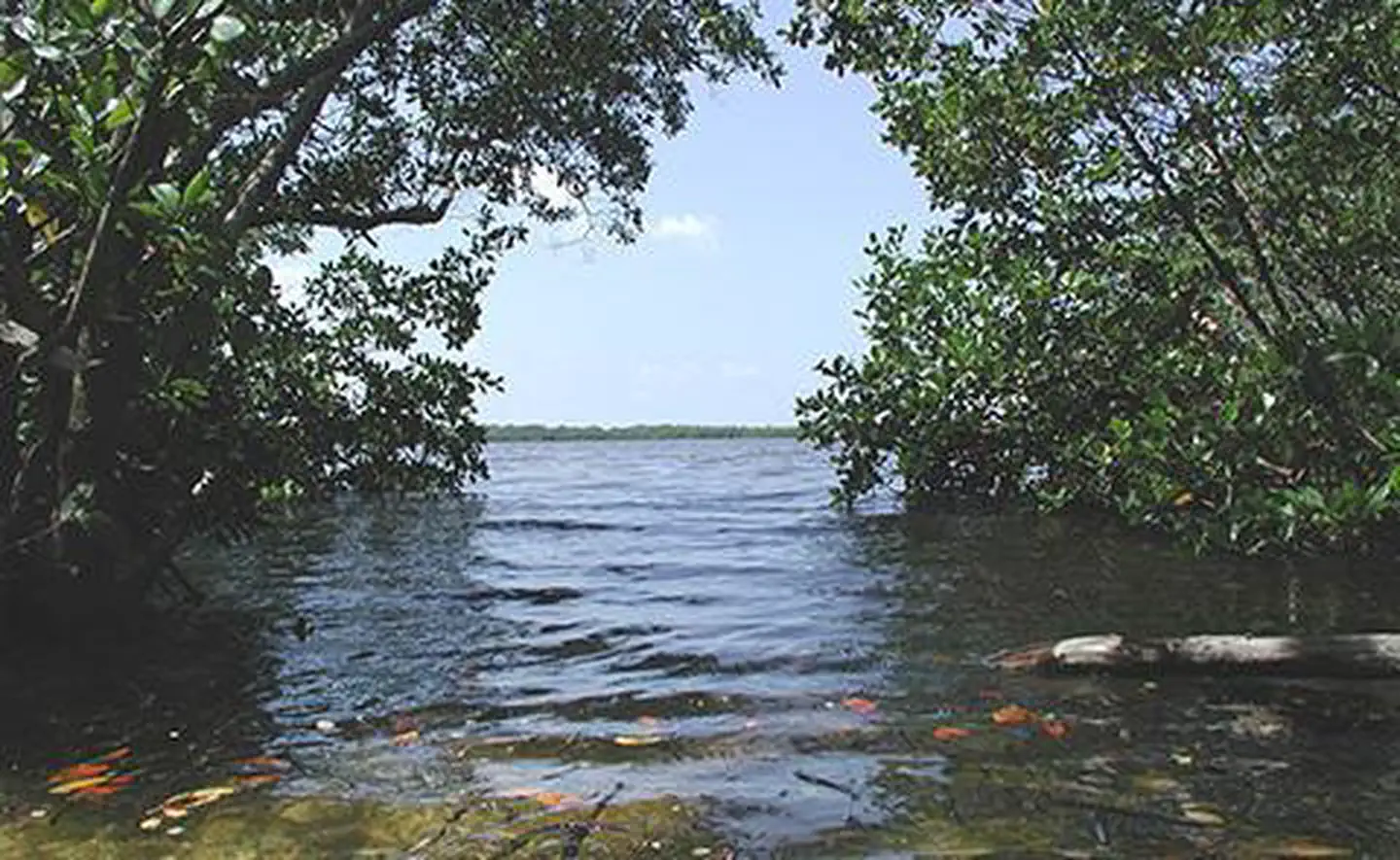
Primary public access to the refuge mainland is available via the Marsh Trail.
With an 18 space parking lot, this area includes a mile-long hiking and biking
trail, canoe and kayak trails, and a two-story accessible observation tower
overlooking the marsh. The Marsh Trail parking lot is located about three
miles east of Collier-Seminole State Park and County Road 92. Getting there
from I-75 in Naples, take exit 101. Then follow Collier Blvd south to its
junction with US HWY 41. Turn left. The Marsh Trail access area is 11 miles
east along US HWY 41. Turnoffs for Goodland and Collier-Seminole State Park
will be passed before you reach the parking area near mile marker 31.
The refuge and its meandering waterways are best accessed by boat. The two
prominent boating access points are found in Goodland and Port of the Islands.
Take US HWY 41 south out of Naples and drive 12 miles to Hwy 92, turn right
and drive 5 miles to Goodland, or continue on US HWY 41 for 5 miles to Port of
the Islands. The refuge does not offer paddle rentals or guided tours by USFWS
staff.
Headquarters Office: Currently CLOSED
Email **floridapanther@fws.gov** for information
Reviews
Location