1 of 1 photo
Rogue Wild & Scenic River
Popularity
No popularity data yet
Directions
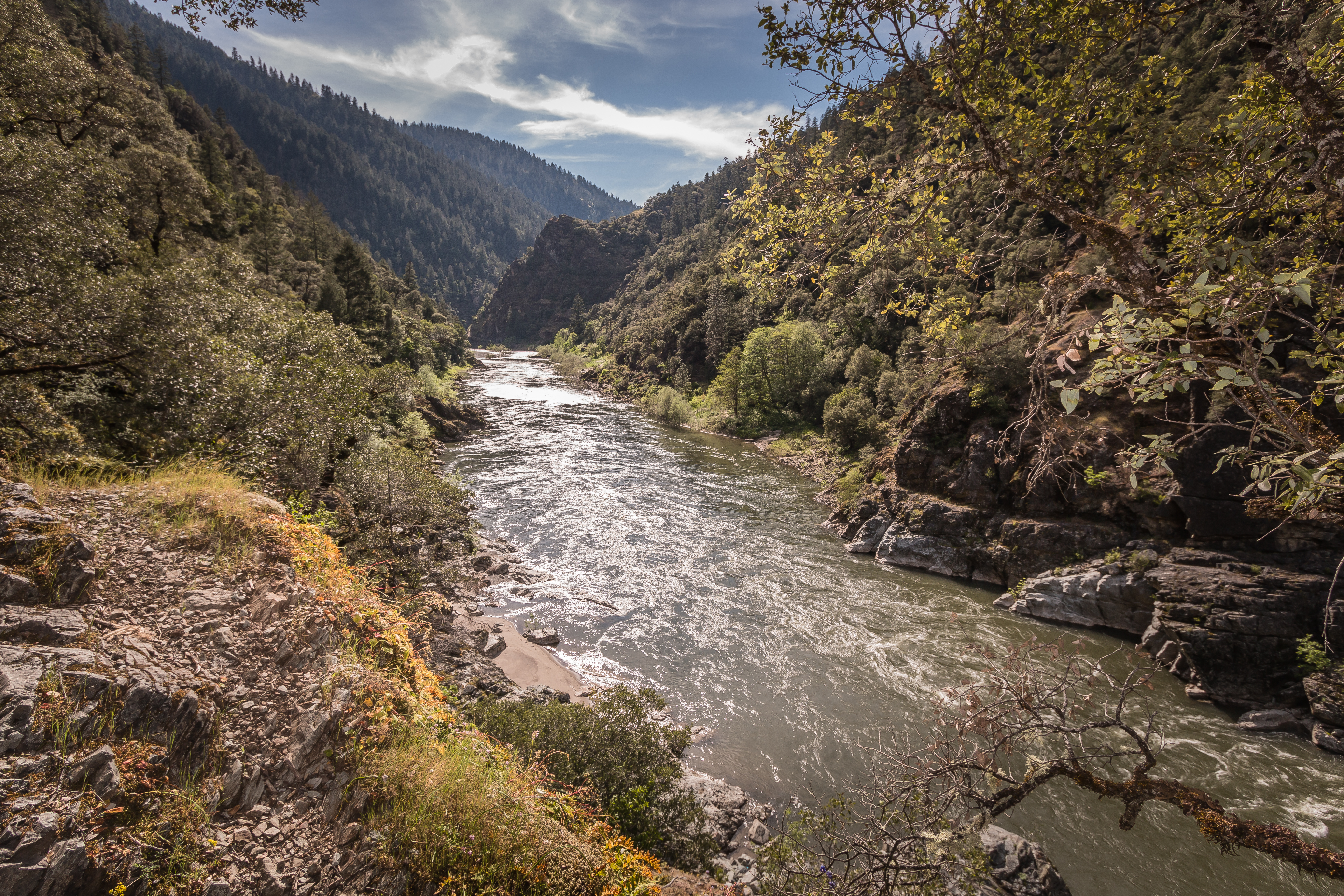
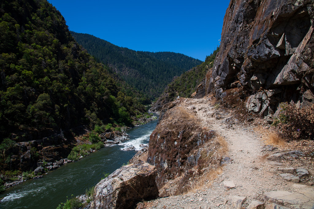
Approximately 15 miles of the 40 mile Rogue River Trail #1160, a National
Recreation Trail, provides year-round hiker only access to the river corridor
from Graves Creek down to Big Bend near Illahe. The Panther Ridge Trail #1253
follows Panther Ridge from Clay Hill to Buck Point along the upper elevation
of the northern wilderness border. A side trail provides access to the unique
vista of Hanging Rock, which is a large rock outcrop on a sheer vertical
cliff. It provides excellent views into Eden Valley and the Rogue River
Canyon. Other outstanding views can be obtained from the Mt. Bolivar Trail
#1259 which provides access to the summit of Mt. Bolivar at 4,319 feet. The
Mule Creek Trail #1159, located on the Bureau of Land management portion of
the wilderness, provides a steep route on an out mining trail between the
river and Panther Ridge. In general cross country travel is not advised due to
steep slopes and heavy vegetation. The Forest Service administers the entire
wilderness, including the Bureau of Land Management portion, so Forest Service
regulations apply wilderness-wide.
Reviews
Location