1 of 1 photo

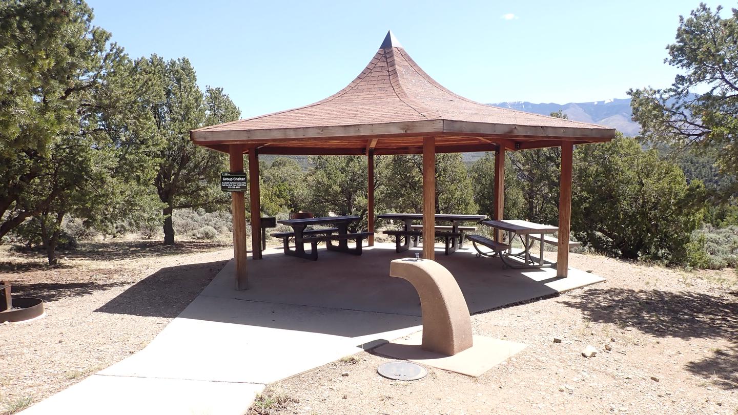
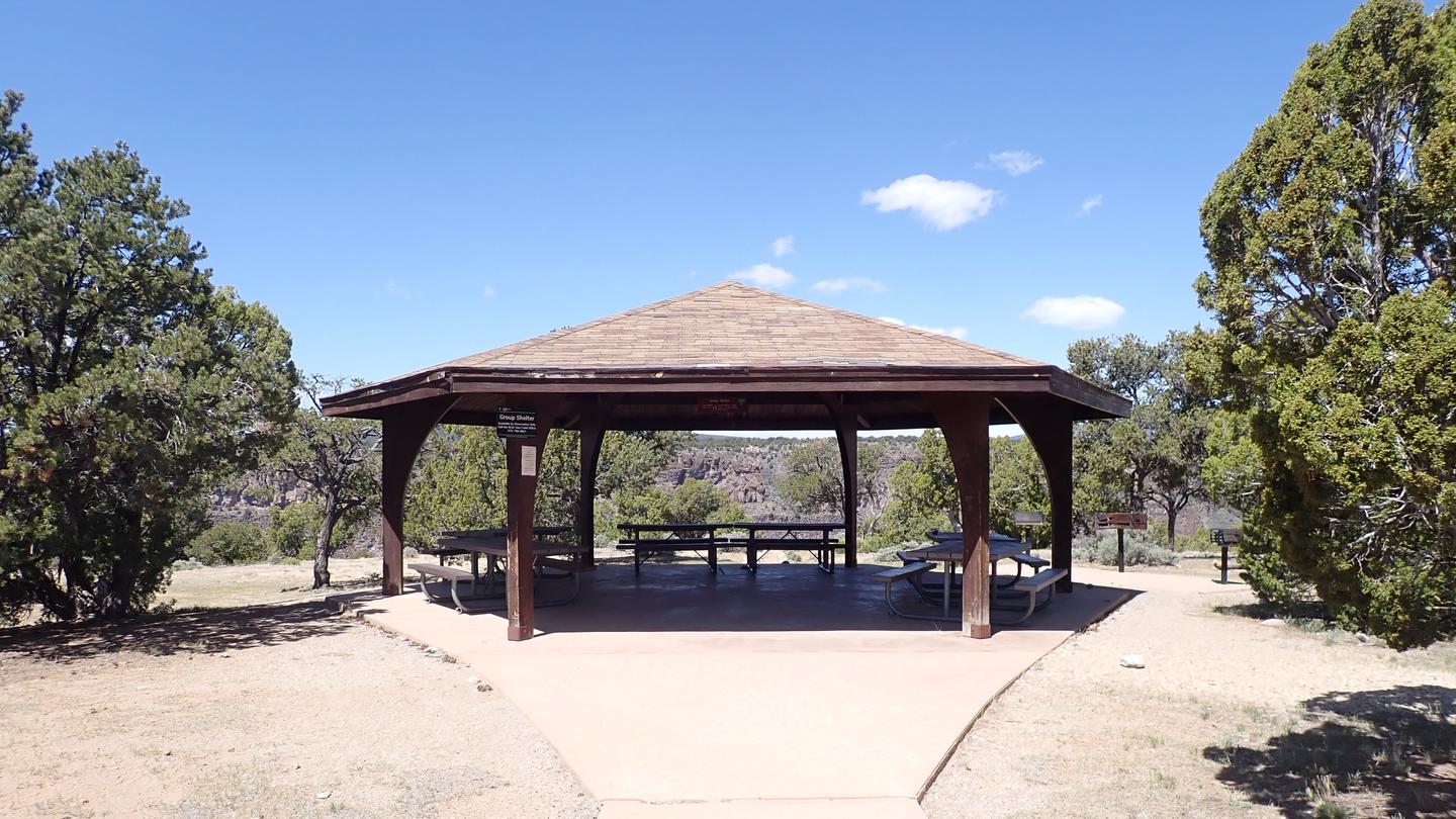
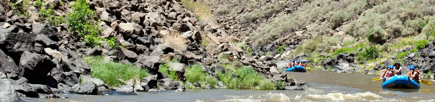
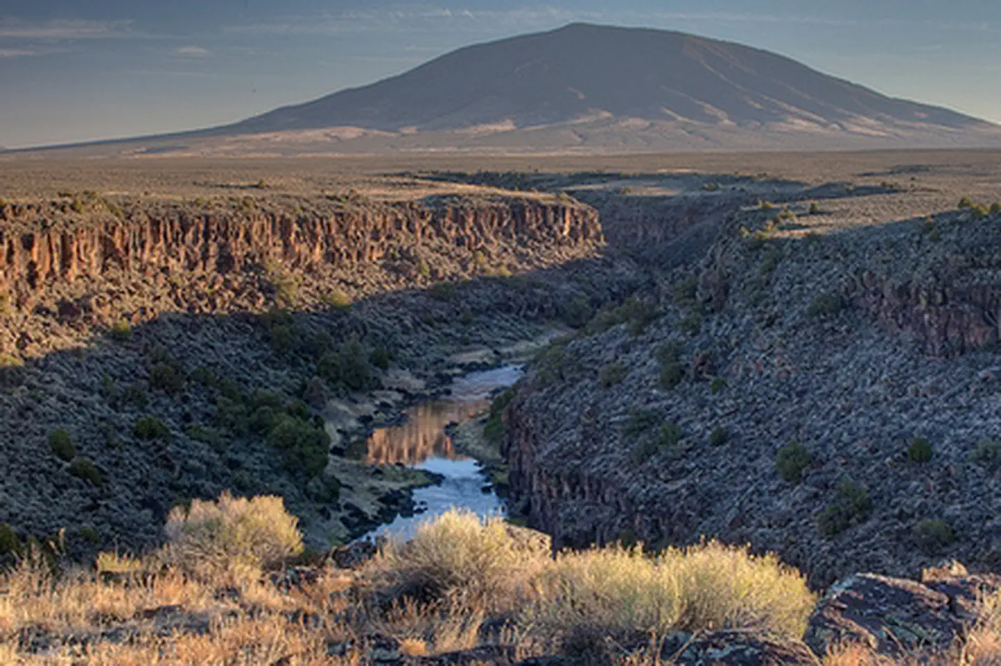
Rio Grande del Norte National Monument

Shaped by millennia of geologic forces and human passage and presence, the Río Grande del Norte National Monument protects a stark and sweeping high-desert landscape where the Río Grande plunges through an 800‑foot gorge at the edge of the Taos Plateau. From the sagebrush plains at roughly 7,000 feet, extinct volcanic cones—Cerro de la Olla, Cerro San Antonio, and Cerro del Yuta—rise above canyons, wild rivers, and native grasslands that harbor vital wildlife habitat and unique scientific resources. Together, these features form an extraordinary mosaic of extreme beauty and daunting harshness, offering rare opportunities to understand the forces that shaped northern New Mexico’s diverse ecological systems and enduring human cultures.


The Monument stretches from the border of Colorado to the village of Pilar, NM and spans about 243,000 acres, including 2 Congressionally Designated Wilderness Areas (Río San Antonio Wilderness and Cerro del Yuta Wilderness) and over 50 miles of Wild and Scenic River (Río Grande and Red River). The Monument’s resources create many world-class recreation opportunities, including hiking, whitewater boating, fly fishing, hunting, camping, mountain biking, and more.  

New Mexico State Trust Land

Any public use of New Mexico State Trust Lands is strictly under the jurisdiction of the New Mexico State Land Office and requires a recreational access permit. For more information visit the New Mexico State Land Office.

Popularity

No popularity data yet

Directions

The RÍo Grande del Norte National Monument, Wild Rivers Zimmerman Visitor Center is located in Questa, NM, at 1120 NM-378. Go north from Questa on NM 522 and turn left on State Road 378; the Visitor Center (VC) is about 17 miles from the turn off. The Rio Grande gorge Visitor Center is located at 2873 NM-68, Taos, NM 87571. signs for the VC will be seen a mile before the entrance.

Stay Limit

14 Days

Reviews

No reviews yet
Location

Campgrounds

Nearby Parks