1 of 1 photo
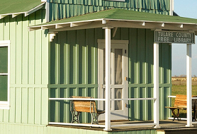
Pixley National Wildlife Refuge
Popularity
No popularity data yet
Directions
From State Highway 99, at the community of Earlimart, California, take the
Avenue 56 exit (Sierra Ave.) west 5.7 miles. Just before Road 88 is a
directional sign directing you to the _**r**_ efuge, turn north after the sign
on Road 88. Take this road north for approximately 1 mile until you cross a
small ditch (Deer Creek). Immediately after the ditch and to the west is a
gravel parking area. The trailhead is found here. Trail guides are available
in the box near the information sign._****_ From Highway 43, turn east onto
Sierra Avenue (Avenue 56). Continue east along Sierra Avenue (Avenue 56) to
Road 88 _**,**_ where you will find a directional sign guiding you to the
_**r**_ efuge. Turn north on Road 88 and proceed one mile until you cross a
small ditch (Deer Creek). After the ditch, you will find the parking lot on
the west side of the road and the trailhead.
Reviews
Location