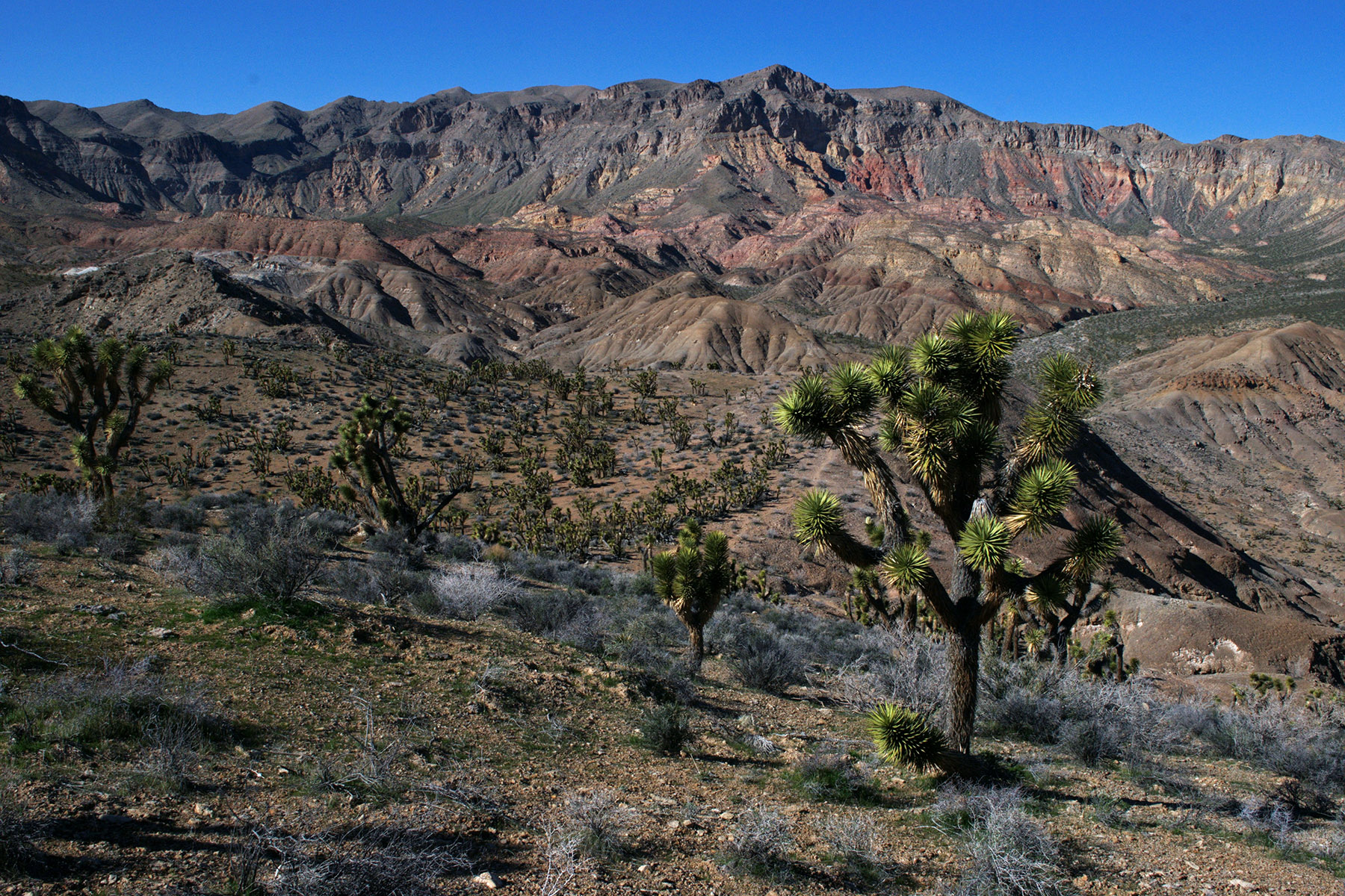
1 of 1 photo
Mokaac Trail
Popularity
No popularity data yet
Directions
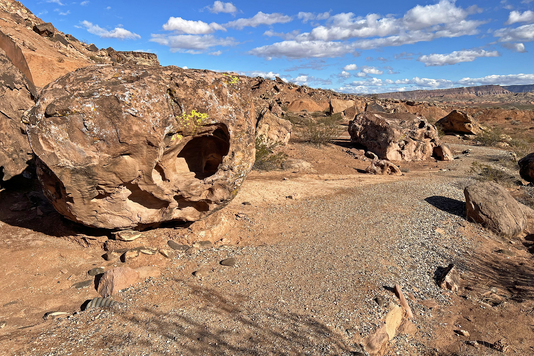
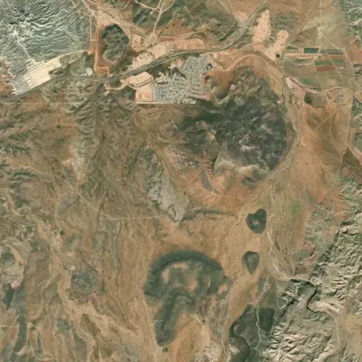
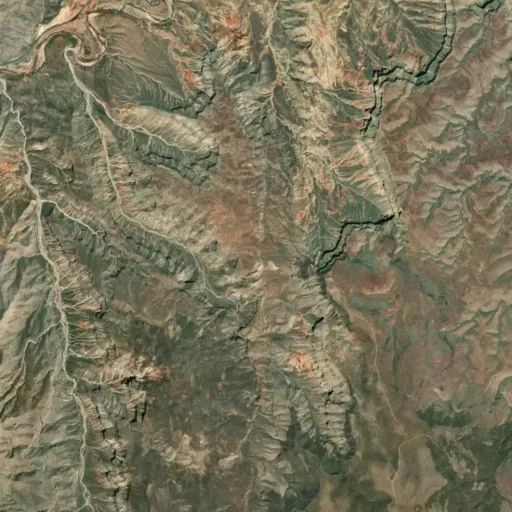
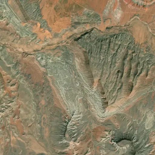
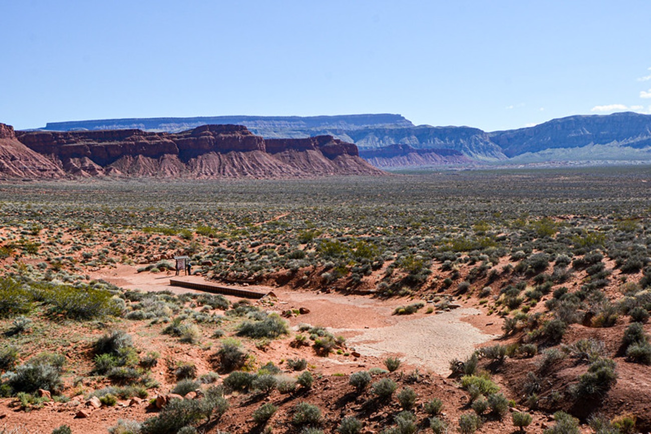
The Mokaac Trail is reached by traveling south from St. George, Utah, on River
Road. At the Utah and Arizona state line, the road becomes Quail Hill Road
(BLM Road #1069/County 5). Follow the road for about 12 miles. The Mokaac
trailhead is clearly signed on the west side of BLM road 1069 at the top of
the grade, also known as “Quail Hill.” Visitors will enjoy reading stories of
the trail’s historic uses on the interpretive sign at the trailhead.
Stay Limit
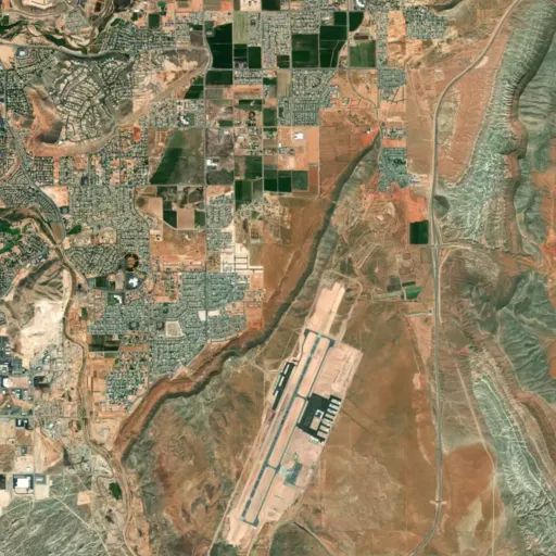
The Mokaac Trail is a day use area. Dispersed camping is available on BLM administered lands nearby. Dispersed camping is allowed for a period not to exceed 14 days within a 28 consecutive day period. Contact the Public Lands Interagency Center at 435-688-3200 or visit them at 4001 East Aviator Drive St. George, UT 84790. The office is located near the St. George Municipal Airport.
Reviews
Location