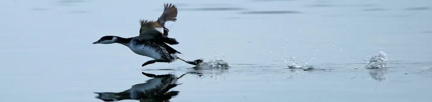
1 of 1 photo
Lower Suwannee National Wildlife Refuge
Popularity
No popularity data yet
Directions
From US 19 in Chiefland, Florida, turn south onto County Road 345 and then go
to County Road 347; drive for approximately 11 miles to the hamlet of Fowlers
Bluff. As you pass Fowlers Bluff follow the big brown information signs. You
can also do a computer search using these words: "Vista, Levy County,
Florida", or our address "16450 NW 31st Place, Chiefland, Florida 32626".
The headquarters office has a visitor contact station open 7:30 - 4:00 Monday
- Thursday. Call before you come on Fridays. The contact station provides
maps, brochures, information, and a warm welcome for visitors. Restroom
facilities, a pollinator garden, hiking, and paddling information are also
available. If you are coming on a Friday or a weekend, definitely call or text
as no one might be there; John Stark’s cell (+1) 850-527-8535 or the office
(+1) 352-493-0238 x224.
The Friends of the Refuges Website
(https://www.friendsofrefuges.org/maps.html) has many refuge maps for public
use.
**Dixie County**
Dixie Mainline North Entrance: 29° 26.504'N, 83° 11.234'W
Dixie Mainline South Entrance: 29° 20.819'N, 83° 7.516'W
Shired Island Boat Launch and Beach Trail: 29° 23.893'N, 83° 12.108'W
Numerous refuge roads off of Dixie County Road 349 between: 29° 28.419'N, 83°
0.666'W, south to 29° 23.215'N, 83° 4.797'W.
**Levy County**
Refuge headquarters entrance: 29° 22.438'N, 83° 2.244'W.
North entrance Nature Drive: 29° 21.889'N, 83° 2.334'W.
Pond 4 Road: 29° 18.604'N, 83° 3.262'W
Barnett Creek Road: 29° 18.422'N, 83° 3.775'W.
McCormick Creek Road: 29° 17.490'N, 83° 3.620'W.
Cabin Road: 29° 17.433'N, 83° 3.149'W.
South Entrance Nature Drive: 29° 17.795'N, 83° 1.958'W.
Gate 10 Road: 29° 16.016'N, 83° 0.552'W.
Shellmound Road: 29° 12.816'N, 83° 0.664'W.
Reviews
Location