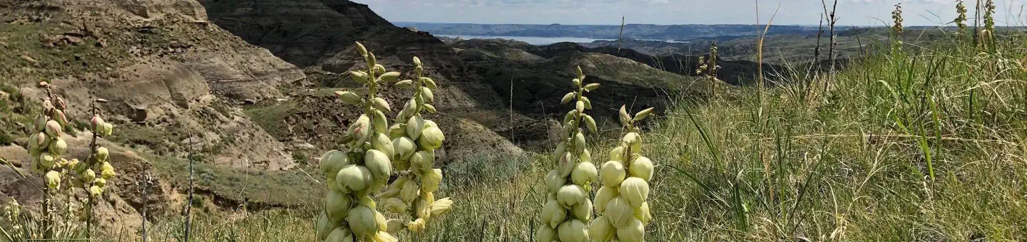
1 of 1 photo
Limekiln Trail
Popularity
No popularity data yet
Directions
Limekiln Trailhead is less than 10 miles from Main Street Lewistown. East
Heading from the East on US-87, take the 1st right onto Marcella Avenue.
Marcella Avenue becomes Rifle Range Road (most of the road from this point is
unpaved). Stay on this road for about 3.3 miles. Turn right onto Lime Kiln
Road. Lime Kiln Road is about 2.3 miles and heads right into the Limekiln
Trailhead. (follow BLM signs) West Heading from the West, keep left on US-87
truck bypass heading into Lewistown, MT. Then turn left onto US-191. Stay on
US-191 for 1.6 miles and then turn right onto Lime Kiln Rd. Arrive at Limekiln
Trailhead 5.6 miles down the road. (follow BLM signs) North Heading from the
North on US-191, take a left onto Lime Kiln Rd. (Lime Kiln Road is about 12.5
miles from Hilger). Arrive at Limekiln Trailhead 5.6 miles down the road.
(follow BLM signs)
Reviews
Location