1 of 1 photo
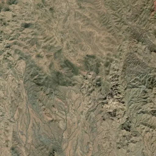
Harquahala Mountain Backcountry Byway
Directions
The byway is 80 miles west of Phoenix or 40 miles southwest of Wickenburg.
From Phoenix, take I-10 west to the Salome Road Exit (50 miles). Turn right
and follow for 9.6 miles to Eagle Eye Road. Turn right and go 8.5 miles to the
byway which heads north towards the summit.
Or travel north on I-17 to the Carefree Highway exit, turn left on State Route
74, heading west past Lake Pleasant, to U.S. 60. Turn right and head northwest
to Wickenburg. From Wickenburg, continue on U.S. 60 (which veers west), to
Aguila. Turn right, heading south, on Eagle Eye Road 18.5 miles to the byway
heading 10.5 miles north climbing the summit.
Reviews
Location