The 23,000-acre Gila Box Riparian National Conservation Area is a year-round desert oasis.
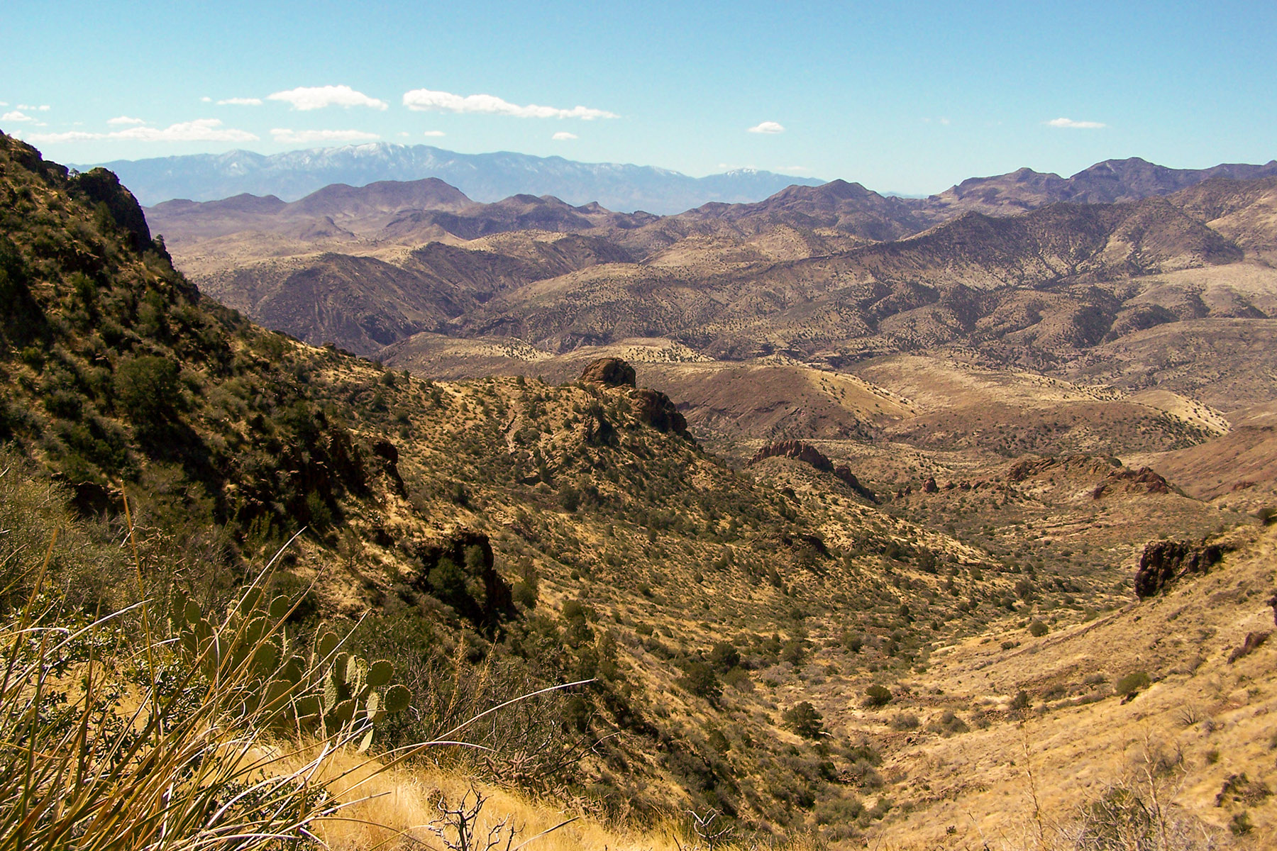
It includes four perennial waterways: the Gila and San Francisco rivers as well as Bonita and Eagle creeks. This region is a very special riparian ecosystem abounding with plant and animal diversity. A canyon section, known as the Gila Box, is composed of patchy mesquite woodlands, mature cottonwoods, and sandy beaches. Impressive Gila Conglomerate cliffs tower more than 1,000 feet above the Gila River, and bighorn sheep are commonly spotted. Bonita Creek, a key tributary of the Gila River, is lined with large cottonwoods, sycamores, and willows.
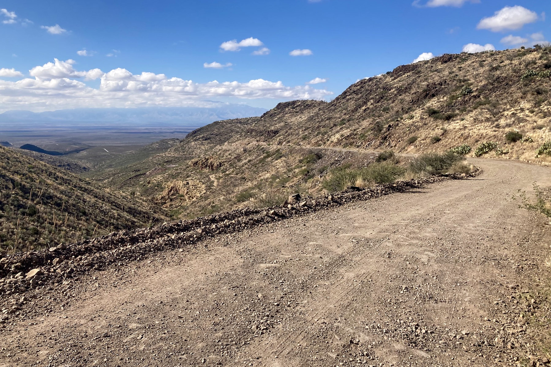
Lower water affords hikers the opportunity to safely enjoy the scenic canyon. Numerous prehistoric and historical structures can be viewed. A network of primitive roads provides hours of backcountry adventure for four-wheel-drive and mountain bike trekkers. Hot springs, river rafting, birdwatching, and miles of trails make this area popular among those in the know.
Canoeing, kayaking, and rafting enthusiasts take advantage of the spring runoff to enjoy an easy to moderately difficult floating adventure down the Gila. Many people also float the river in inflatable kayaks during the low water of the summer.
The Bonita Creek Watchable Wildlife Viewing Area provides a bird’s-eye view of the riparian canyon below, with over 100 species of birds recorded here. It is accessible and has numerous interpretive displays and shade shelters.
A homestead cabin, rock art and cliff dwellings, show evidence of the occupation of this important perennial stream by earlier inhabitants.
Developed campgrounds include the 13-unit Riverview Campground and the seven-unit Owl Creek Campground. Each has tables, shade structures, grills, bathrooms, and trash cans. Riverview also has potable water.
Safety and Conditions
Summer temperatures can be extremely hot, and some winter days quite cold. Flooding may occur during winter and summer rainy seasons, as well as during spring run-off. A portion of Bonita Creek supplies the town of Safford with its municipal water.
No first aid is available on-site. The nearest hospitals are in Morenci and Safford. Food and supplies are available in Clifton, Morenci, Safford, and Thatcher.
Warning to Gila Box Float Boaters: Two smooth-wire fences connecting private land parcels are now in place across the Gila River within the Gila Box. The fences are located 1.3 and 2.7 river miles downstream from the Old Safford Bridge boat put in which boaters can reach from the Black Hills Back Country Byway. Although these fences are designed to accommodate rafts and kayaks, float boaters should exercise caution upon approaching them, especially at water levels above 100 cubic feet per second. We recommend scouting from shore.
 Camp Observer