1 of 1 photo
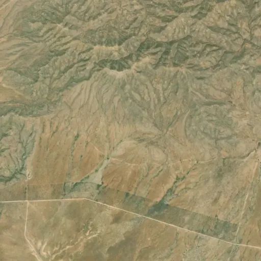
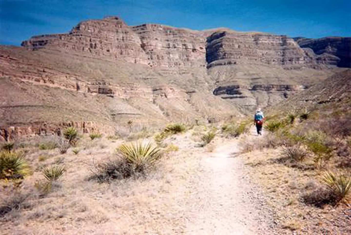
Culp Canyon Wilderness Study Area
Popularity
No popularity data yet
Directions
From U.S. Highway 54, 25.5 miles south of Alamogordo, NM, take all-weather
dirt Highway 506/Owen Prather Hwy east just over 6 miles to another smaller,
unmarked dirt road that runs northeast for about 7.5 miles to the Culp Canyon,
and the southern border of the WSA. Access to Culp Canyon on McGregor Range
requires permission from Ft. Bliss. Access permits are issued by Ft. Bliss and
the BLM's Las Cruces District Office.
Reviews
Location