1 of 1 photo
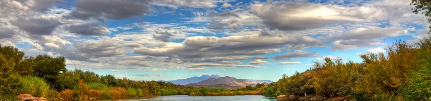
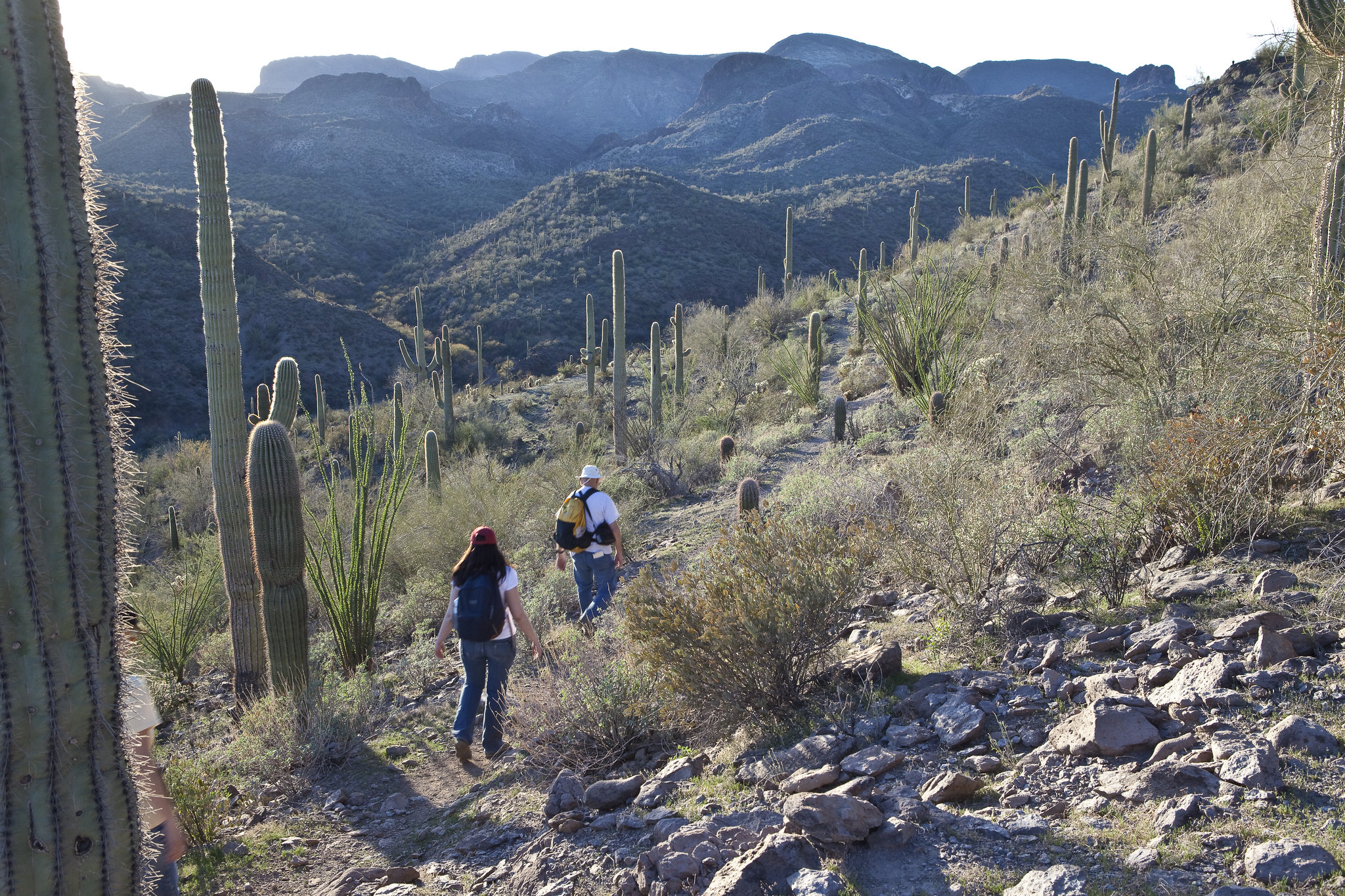
Black Canyon National Recreation Trail
Popularity
No popularity data yet
Directions
**Emery Henderson Trailhead** : From Phoenix, take Interstate 17 north and
exit at New River Road, Exit 233. Head west (left) and continue approximately
three miles. The Trailhead is on the north (right) side of the road. From
Prescott, take State Route 69 to Interstate 17, and head south. Take New River
Exit 233. Head west (right). Travel about three miles on the New River Road
and turn right at the developed area.
**Table Mesa Trailhead** : From Phoenix, take Interstate 17 to the Table Mesa
Road Exit 236, turn west (left), then right on the frontage road. Drive
approximately 1.65 miles to the "Y" and bear left, drive approximately 1.4
miles and look for the side road on the right. Turn onto this road and the
trailhead is immediately to the left. From Prescott, take State Route 69 to
Interstate 17, and head south. Take the Table Mesa Road Exit 236, turn west
(right), then right on the frontage road. Drive approximately 1.65 miles to
the "Y" and bear left, drive approximately 1.4 miles and look for the side
road on the right. Turn onto this road and the trailhead is immediately to the
left.
**Black Canyon City Trailhead** : From Phoenix, take Interstate 17 north and
exit at Rock Springs/Black Canyon City Exit 242. Head west (left). At the stop
sign turn right then quickly left onto Warner Road. Follow the road to the
white tank which marks the Black Canyon City Trailhead. From Prescott, take
State Route 69 to Interstate 17, head south. Take the Black Canyon City/Cold
Water Road Exit 244. Drive through town and turn west (right) onto Werner
Road. Follow road to the white tank.
Please note that Black Canyon City Trailhead is under the management of
Yavapai County.
**Gloriana Trailhead** : From Phoenix, take Interstate 17 north. Take the
Bumble Bee/Crown King Exit 247 and turn right on the frontage road then
proceed approximately ½ mile to the trailhead on the left. From Prescott, take
Interstate 17 south. Take the Bumble Bee Exit 247 and proceed approximately ½
mile to the trailhead on the left.
**Big Bug Trailhead** : From north or south on Interstate 17, take Prescott
(State Route 69)/Cordes Lakes Road exit 262. Proceed approximately 4.2 miles
to the entrance on the west (left) side of the highway. There is no signage
identifying the trailhead, so be sure to watch your odometer.
Stay Limit
Most of public lands are open to dispersed camping, as long as it does not conflict with other authorized uses or in areas posted "closed to camping," or in some way adversely affects wildlife species or natural resources. Dispersed camping is generally allowed on public land for a period not to exceed 14 days within a 28 consecutive day period.
Reviews
Location