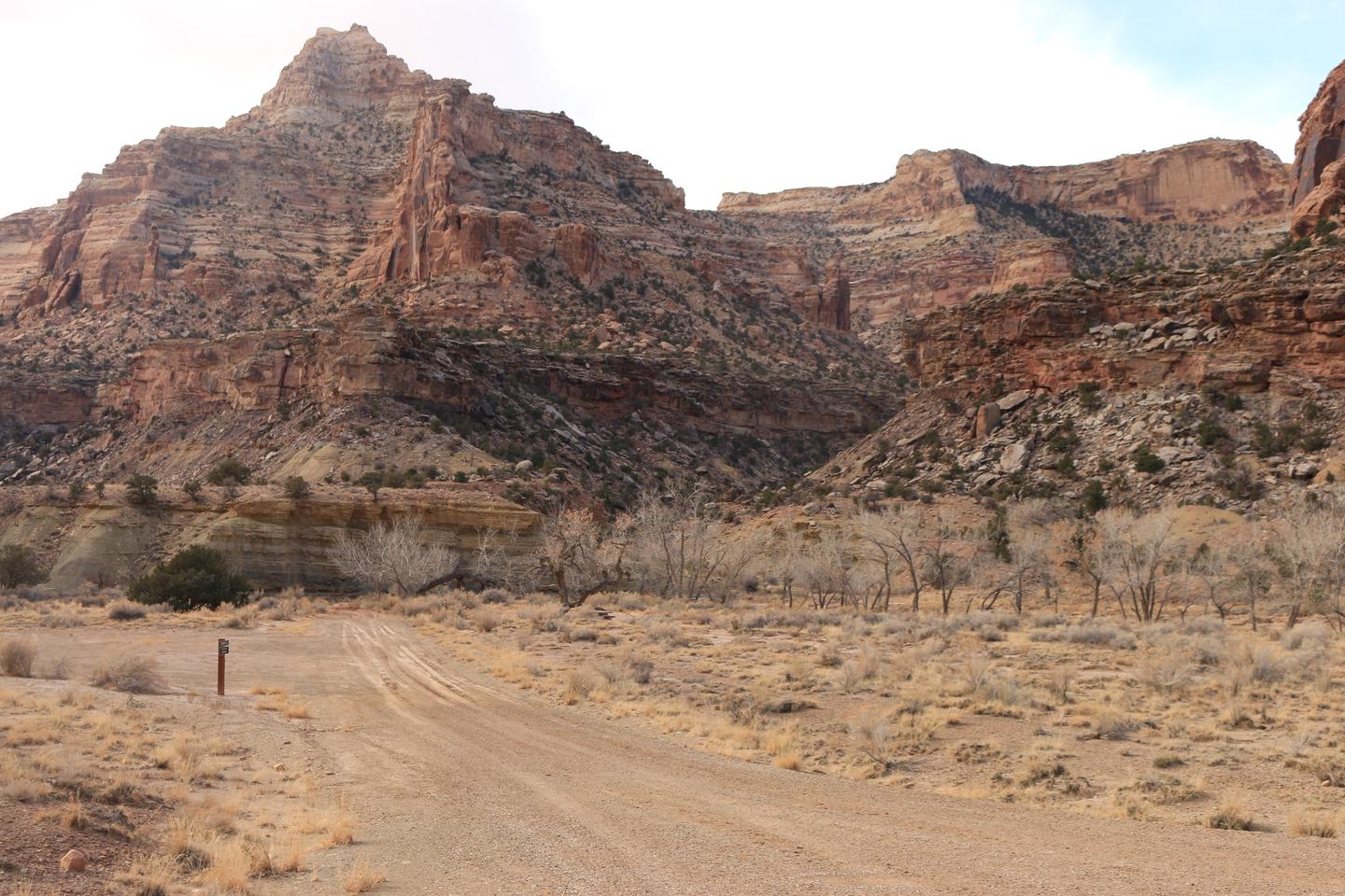
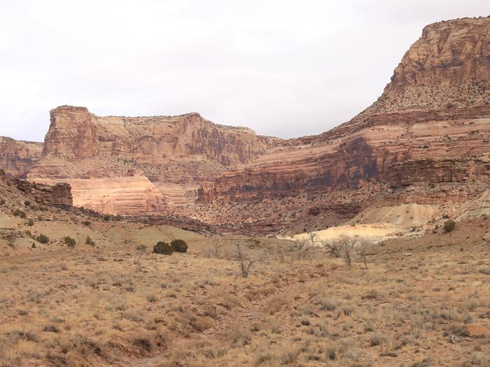
1 of 6 photos
Buckhorn Draw
Directions
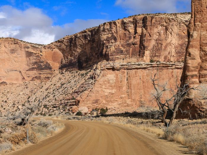
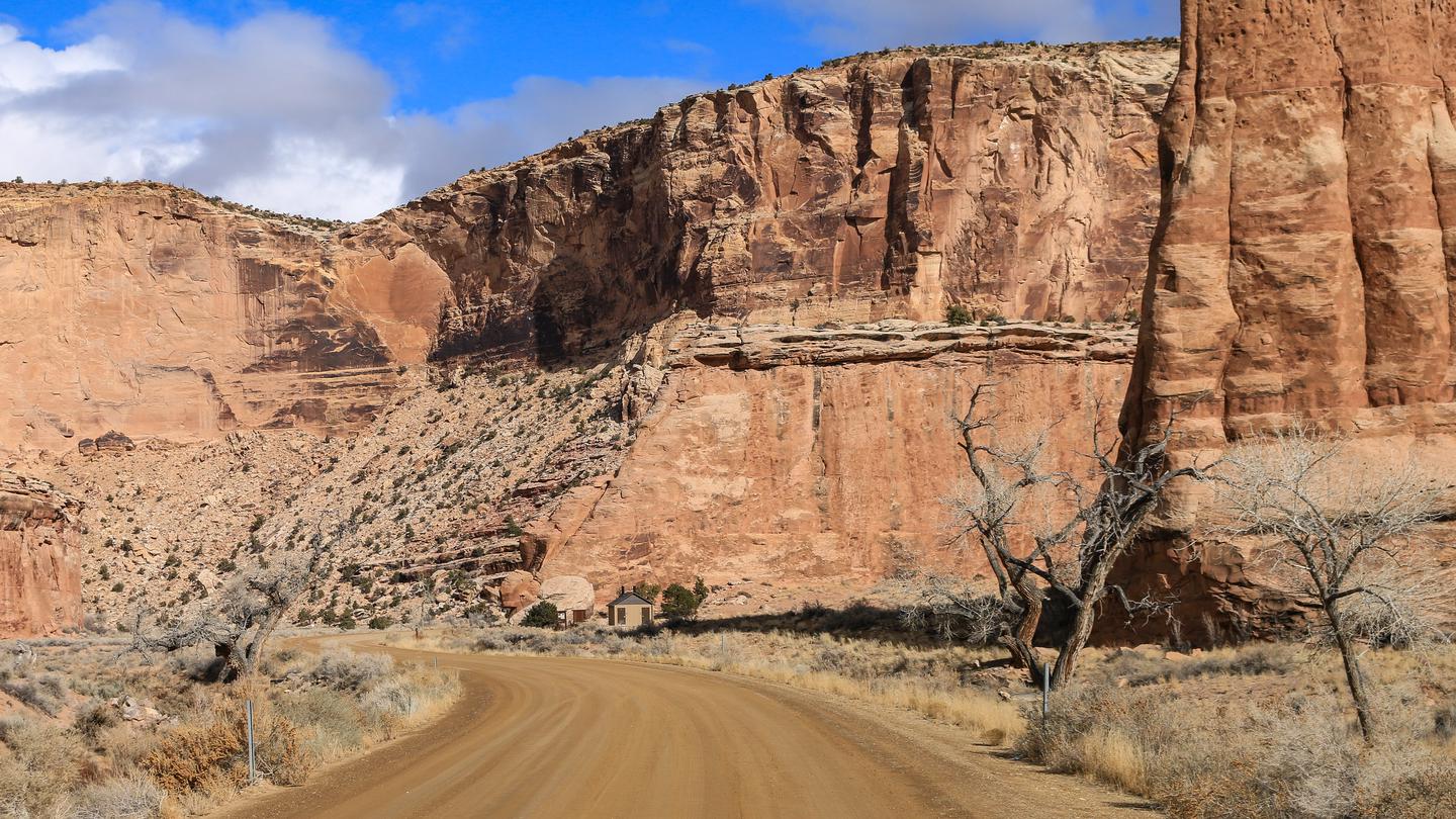
**This campground is located 15 miles from the nearest paved road. County
roads in the San Rafael Swell are generally well-maintained but may be
impassible for two-wheel drive vehicles in wet or icy conditions. Please
travel safely and responsibly. Contact the BLM for route conditions.**
**From Huntingdon** : Take Center Street east out of Huntingdon. Turn left
onto Emery County Rd. 332 after approximately three miles, following signs for
San Rafael Swell access. Continue straight on this road for 12 miles as it
turns into gravel, traveling east and then south until it intersects with the
Green River Cutoff Road (Emery Co. Rd 401) at the Buckhorn Information Center,
which has multiple kiosks, vault toilets, and a large staging area. Turn left
and continue straight for another 2.4 miles, and then turn right at the sign
for Buckhorn Draw. The north information station at Campsite 1 is in
approximately 1 mile.
**From Castledale** : Go north out of Castle Dale on Highway 10 and turn right
on the Green River Cutoff Road, about 1 mile out and signed for San Rafael
Swell access. Continue straight for 13 miles to the Buckhorn Information
Center and then 2.4 more miles to the signed intersection with Buckhorn Draw.
**From Highway 191** : Turn west onto the Green River Cutoff Road midway
between mile markers 283 and 284. Stay straight for 28 miles until the signed
intersection with Buckhorn Draw is reached.
**From I-70:** From Exit 131 (signed for Temple Mountain Rd. and Sinbad Rd.),
go north and follow Buckhorn Draw Road (Emery Co. Rd. 332) as it turns east
and then north. You will reach the San Rafael River (Swinging Bridge
Campground) in 20 miles. The south information station at Campsite 30 is
reached in 1.5 miles.
Reviews
Location
