Overview
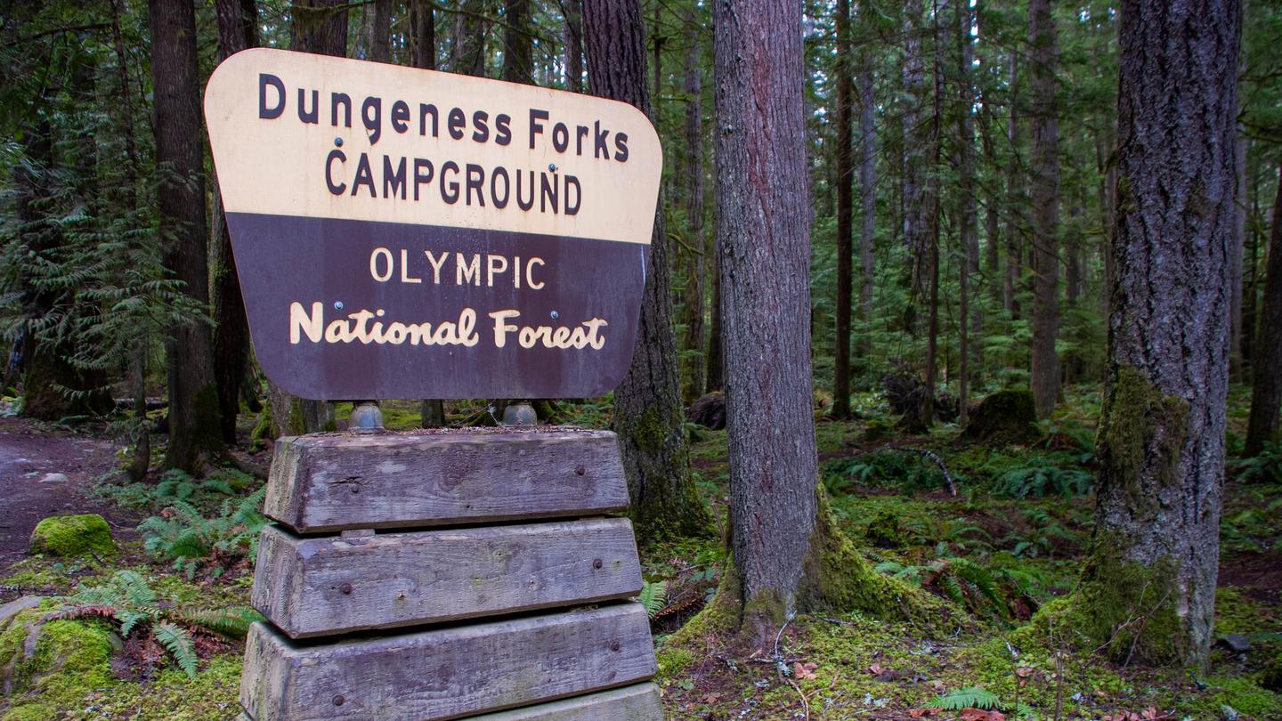
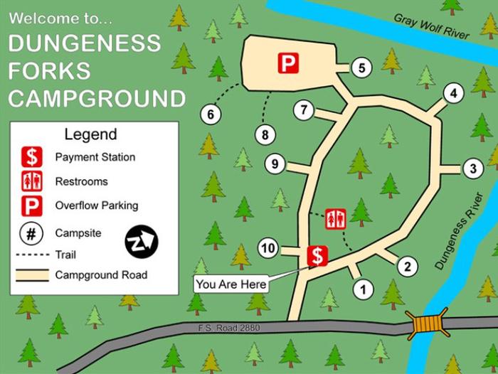
Dungeness-Forks Campground is located at the fork of the Dungeness and Graywolf Rivers and is a shaded, forested area with evergreen conifers. There are 10 campsites that will accommodate tents. Trailers and motorhomes are not recommended due to steep one lane unpaved road access.
Campsites at this location is available on a first-come, first-served basis, and visitors are required to physically arrive at the campground to purchase and claim a site. Once on-site, you are able to pay for your campsite(s) by scanning a QR code using the Scan & Pay feature on the Recreation.gov mobile app.
Please download the free Recreation.gov mobile app prior to your arrival as some remote areas have limited or no cellular service. Adding a payment method to the app before arrival is recommended as well.
Recreation
Camping, fishing and hunting are possible. Nearby hiking trails within 10 miles of campground include Graywolf #834, Upper and Lower Dungeness #833, Royal Creek #832 and Tubal Cain #840. Note: Upper Dungeness #833 and Royal Creek #832 require a Recreation Pass at the trailhead.
Facilities
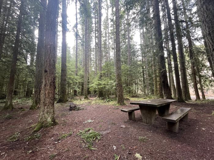
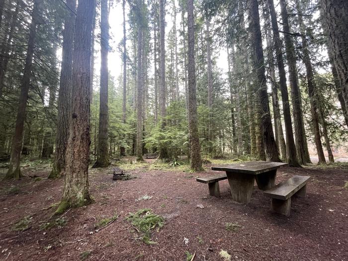
There are 10 campsites that will accommodate tents. Trailers and motorhomes are not recommended due to steep one lane unpaved road access. Tables, fire rings and vault toilets are available. Elevation is 1000 feet. Please pack out your garbage and leave a clean campsite.
Natural Features
The campground is located at the confluence of the Dungeness and Graywolf Rivers in a shaded forested area.


