Overview
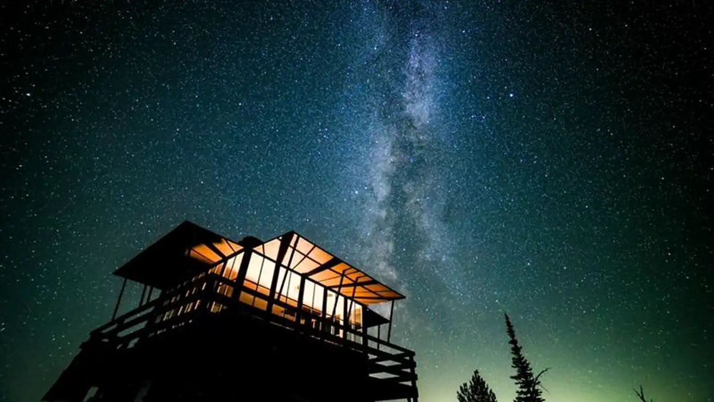
The Steliko Lookout sits at an elevation of 2,586 feet in the Okanogan-Wenatchee National Forest. Built in 1947, the lookout was used by Forest Service personnel until the 1990’s. The peak is still used by staff during emergencies to get a view of the surrounding area.
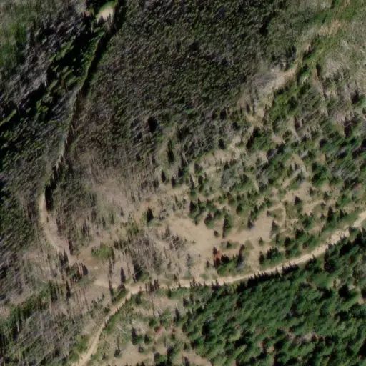
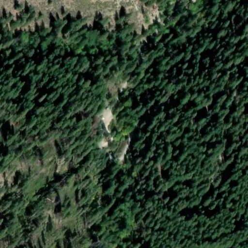
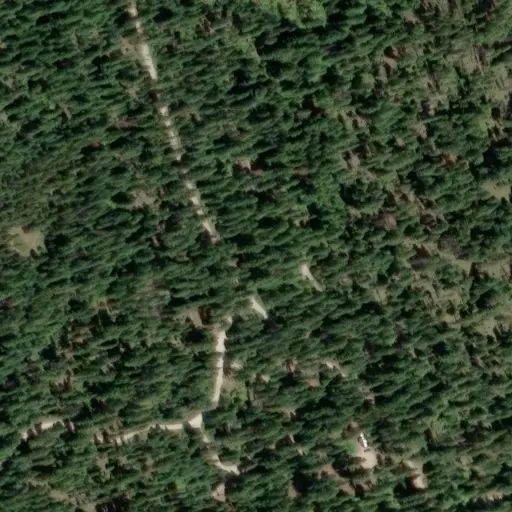
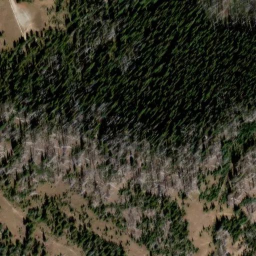
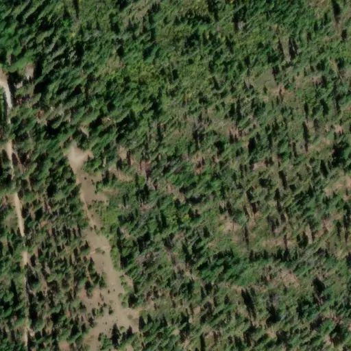
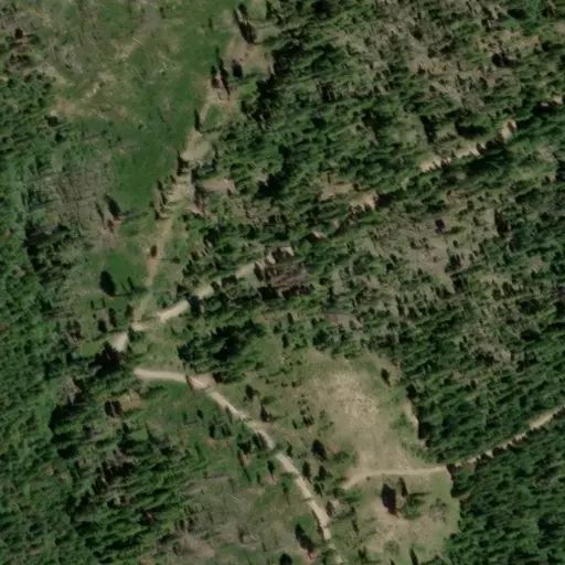
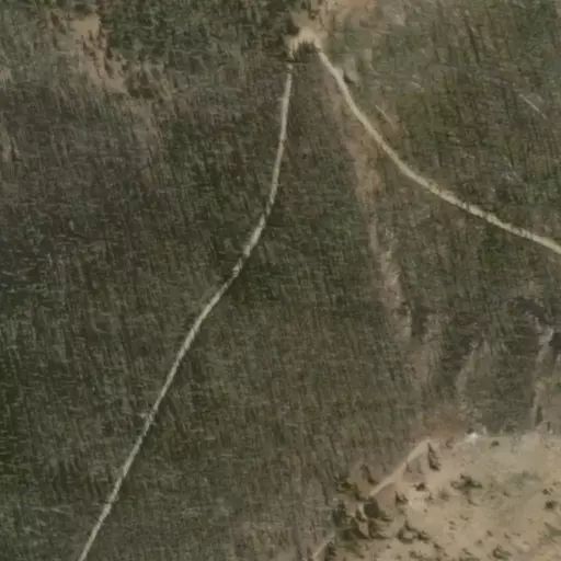
The lookout is accessible by SUV or four-wheel drive truck from mid-April to mid-November. The road is narrow and steep at the beginning, please use all-wheel drive or four-wheel drive to limit road damage.
Mid-November – mid-April the lookout is only accessible by walking, skiing, snowshoeing, or snowmobiling the 1.5 miles up the road, depending on snow level it can be hazardous to travel to the lookout.
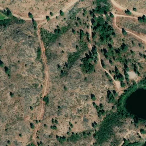
The route to the lookout follows FS Road 5310 and is 1.5 miles long with 945 feet of elevation gain. The starting elevation is about 1300' and the ending elevation is about 2600'. The road averages 8-12' wide and becomes more narrow as snow accumulates. There is an average grade of 10% with a maximum grade of 25%. In Winter, up to 4+ feet of snow can accumulate on the road and surrounding area depending on the year.
Recent upgrades to the building will make your stay comfortable, but are still primitive, guests should be prepared with their own supplies.
If you are visiting Steliko during the Winter please read this document: Additional Winter Info
Recreation
Nearby roads and the Steliko Ridge trail offer opportunities for hiking, mountain biking, and dirt biking. Although you may still see the light of nearby houses from the top, the star gazing is still very good. A short drive up valley leads to other recreation sites like Silver Falls, Entiat Falls and many trails. Always check conditions before embarking on your next adventure.
Facilities
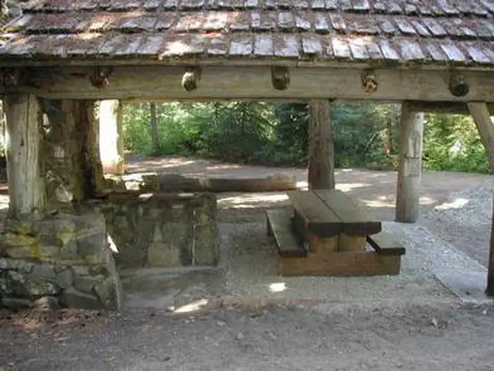
The 16x16 cabin sleeps four and is equipped with four single foam mattresses, two on regular frames and two on trundle style frames. Two foldable tables, a bench with a two-burner propane stove, a heater, and broom and dustpan are provided.
There is a wall-mounted propane heater for guest use. There are instructions on how to use this heater inside the lookout. We cannot guarantee that visitors will be able to start the propane heater. Experienced users of this specific propane heater can typically get it started within 5 minutes. It may take an inexperienced user up to 30 minutes or more to get the heater started if at all. As such, visitors should be prepared to stay at the lookout without facility-provided heat.
Here are the instructions for the heater and backup heater: Instructions
There is a Little Buddy heater as a backup to the main heater. If you would like to use this backup heater, please bring your own 1lb. Propane Canister. Bring 3-4 one-pound canisters for 24 hours of use.
There are special vents to the outside of the building these must be kept open at all times.
There are solar-powered LED strip lights and a USB plug for devices. The solar power may not be powerful to charge the system during late November - February. We recommend brining additional battery-powered lights. Guests must bring their own water for drinking, cooking and washing. Guests must also bring their own cookware, dishes, bedding, first aid supplies, trash bags, entertainment and 10 essentials.
An outhouse with a vault toilet is located 40 yards from the lookout. Bring extra toilet paper.
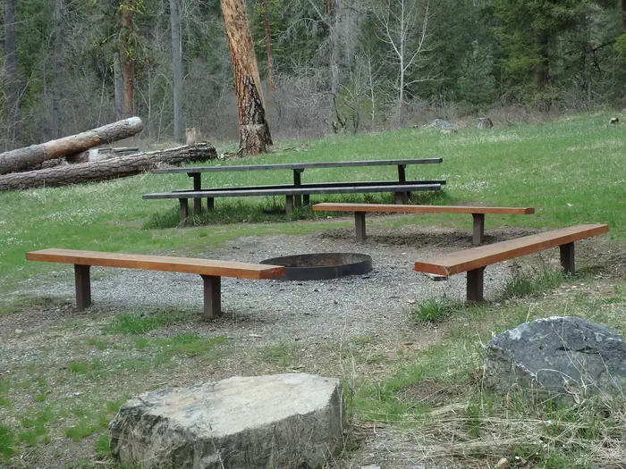
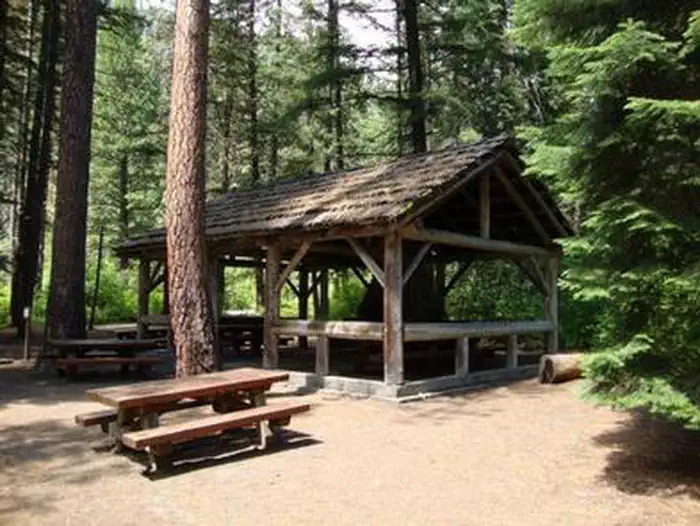
A picnic table is outside the lookout.
Winter Visitor Information: Additional Winter Info
Natural Features
Views from the lookout include Tyee Mountain, Stormy Mountain and east to the Waterville Plateau. The open hillsides are covered with balsam root and Lupine in the spring and guests can usually spot a mule deer or two as this is great winter range.
Contact Info
For facility specific information, please call (509) 860-4267.
Nearby Attractions
Numerous forest roads are adjacent to the lookout and ready to be explored by bike, dirt bike, foot or truck. The Steliko Ridge trail is also adjacent to the lookout and is open to dirt bikes, mountain bikes, horses and hikers. This trail travles for approximately four miles out the ridge to the north.