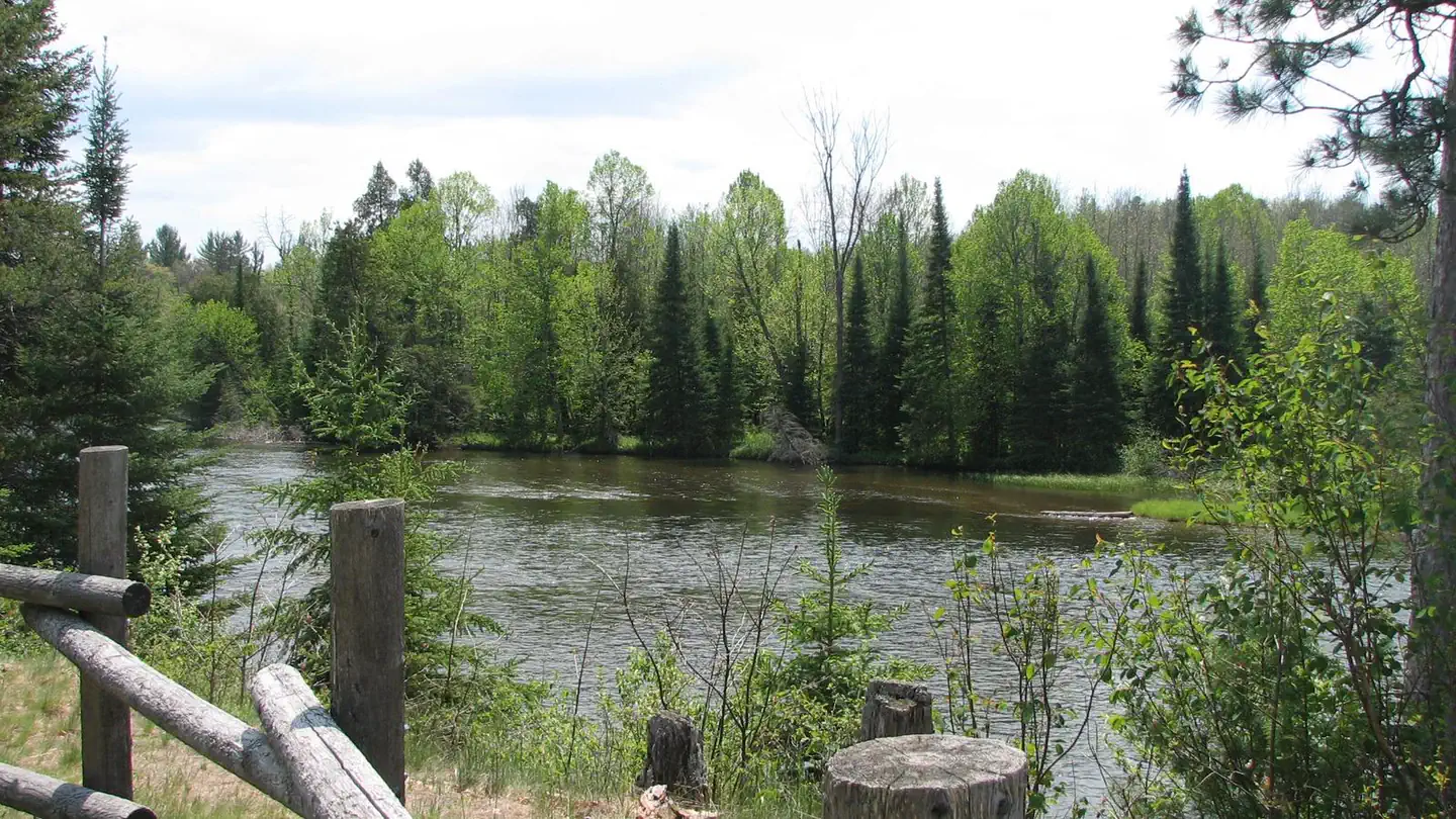
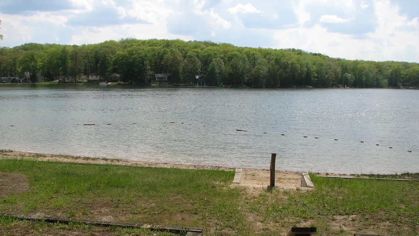
1 of 9 photos
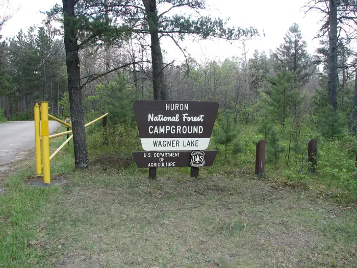
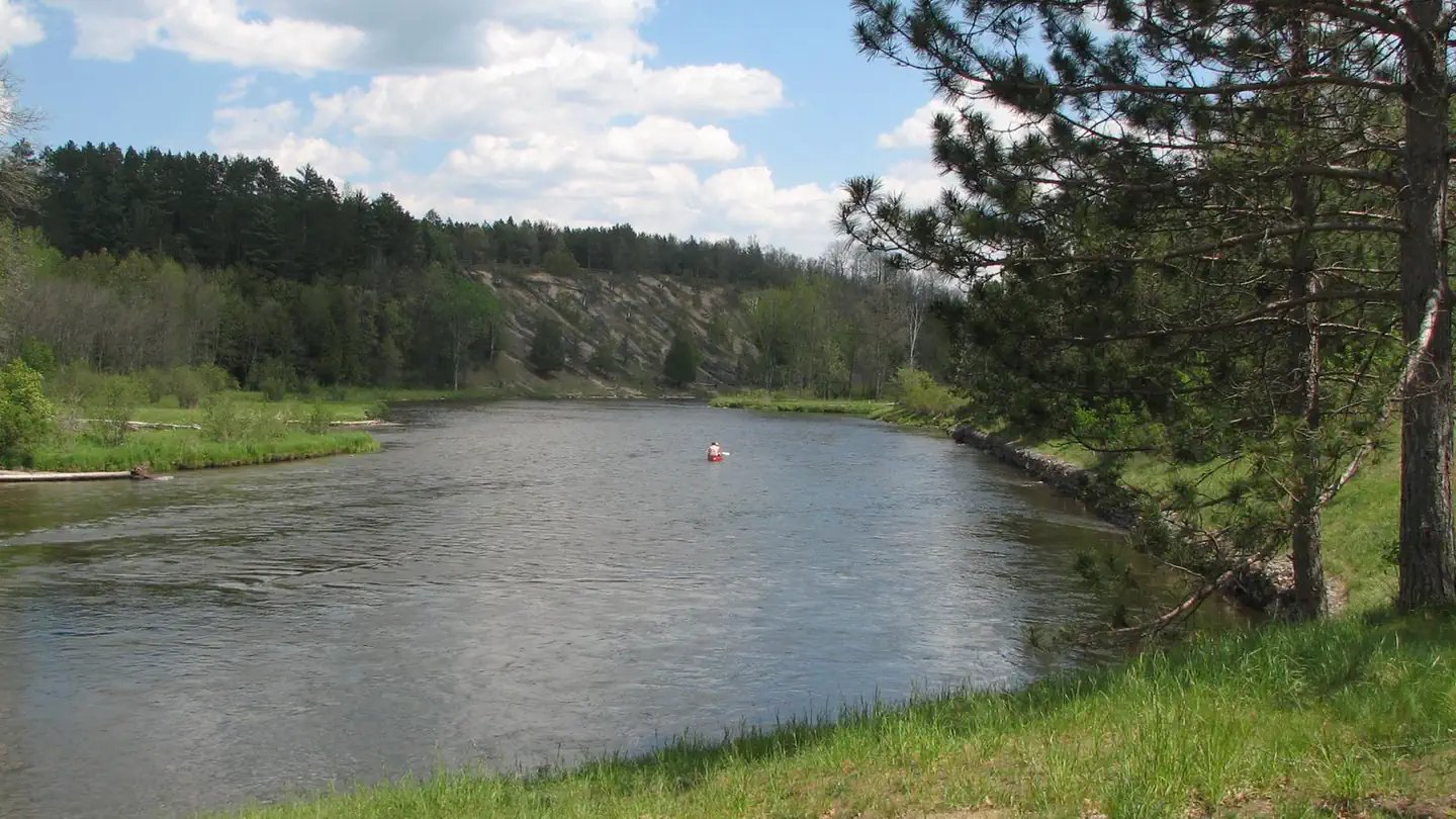
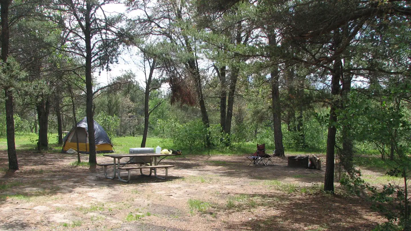
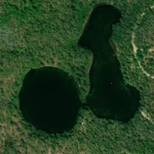
Mack Lake ORV Campground
Directions
**From Grayling:**
* Travel east on M-72 for 30 miles.
* Turn right and travel south on M-33 for 6 miles.
* Turn left and travel east on County Rd. 604 for 4 miles.
* Turn left and travel north on FR 4460 for 1 mile.
* Turn left and travel west on County Rd. 489 for 1 mile.
Reviews
Popularity
No popularity data yet
Location