1 of 9 photos
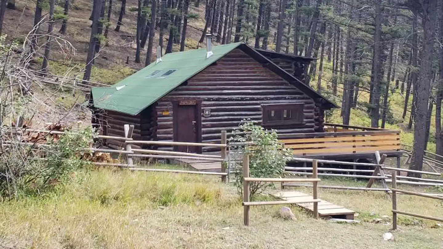
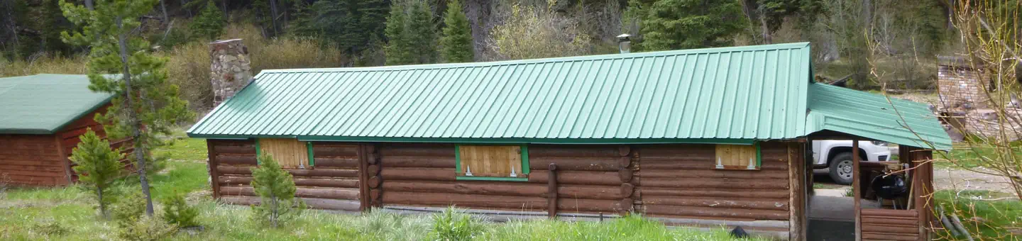
Granite Butte Lookout
Directions
The lookout is located approximately 16 miles southeast of Lincoln. It can be
reached via Stemple Pass Road #601, which leaves downtown Lincoln at the
blinking light and joins Highway 279 north of Helena. Follow Stemple Pass Road
for approximately 14 miles to the top of the pass and then turn onto Marsh
Creek Road #485. Follow Marsh Creek Road south approximately 3 miles until the
junction of the Granite Butte Road #4133. The road gets narrower and rougher
at this point and climbs the final 1.5 miles up to the lookout tower. High
clearance vehicles are strongly recommended for the Granite Butte Road #4133.
During the winter months, the Stemple Pass Road is plowed in its entirety, but
visitors will have to snowmobile or ski in the final 4.5 miles. There is
plowed parking available at the Stemple Pass cross country ski area. There are
two recommended routes into the lookout. One follows the road as outlined
above and the other roughly follows the Continental Divide. If you are
planning on snowmobiling into the lookout in the later winter months it is
recommended that you take the upper route on the Continental Divide as the
Marsh Creek Road develops large wind drifts that are generally impassable by
snowmobiles. Please be sure to follow all applicable motorized use
restrictions when accessing the lookout and only operate motorized vehicles
where allowed. Maps of the ski and snowmobile routes are available at the
Lincoln Ranger District and at the Stemple Pass Trailhead. Renters are advised
to take a map with them if they are unfamiliar with the area.
Reviews
Popularity
Very busy · 100%
Location