Overview
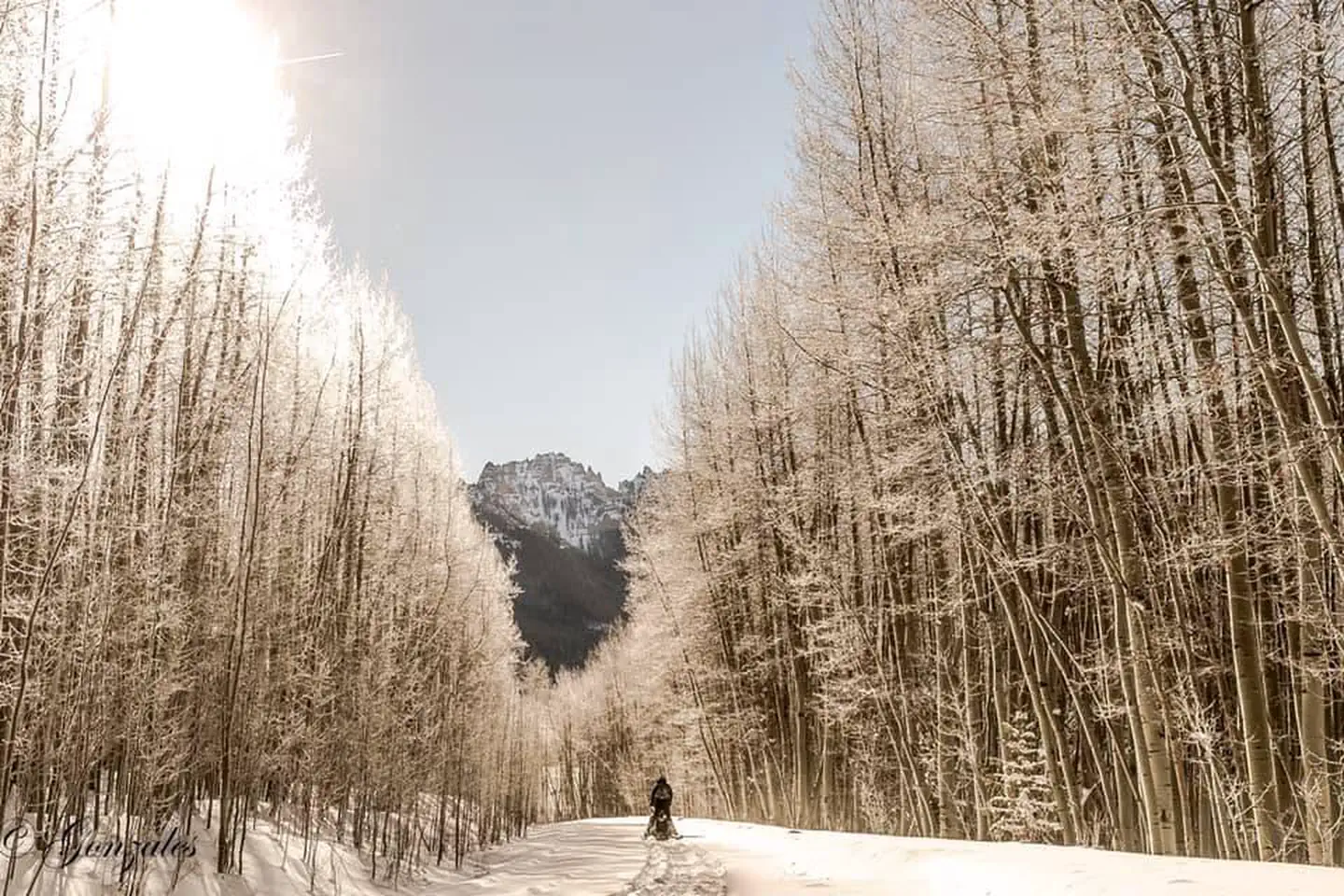
The Alpine Ranger Station is situated on the Alpine Plateau at 9,600 feet, in a beautiful alpine valley surrounded by aspen, spruce and fir forest. With inspiring views and multiple nearby recreation opportunities, the Ranger Station is just the place for a quiet and historic retreat, with a few modern amenities.
Recreation
Surrounded by miles of National Forest, visitors to the Alpine Ranger Station can enjoy a multitude of outdoor activities. There are several hiking and mountain biking trails nearby, as well as opportunities for OHV use, including ATV and motorcycle routes. Also, the ranger station has a horse barn and small corral, offering the opportunity for horseback riding. The Uncompahgre Wilderness is adjacent to the Ranger Station and a trailhead to Uncompahgre Peak (a popular 14'er) is only a mile away.
Facilities
Visitors can expect to experience two semi-rustic cabins with some modern amenities. The main cabin has a semi-modernized kitchen with a propane cooking stove, refrigerator, and sink. There is a separate bathhouse located a few feet away from the main cabin with a vault toilet. Other amenities include: solar electric lighting and a pot belly wood stove. The main cabin can accommodate up to four people, featuring two bunk beds with four twin-size mattresses. The other cabin has a queen bed on the ground level and a loft.
Basic kitchen supplies - pots/pans/silverware - are provided. Cleaning supplies are provided, and guests are required to clean before they leave. Guests should bring their own bedding and towels.
Plan to pack it in, pack it out. Please take your trash with you when you leave.
Natural Features
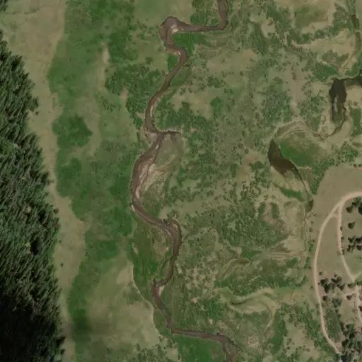
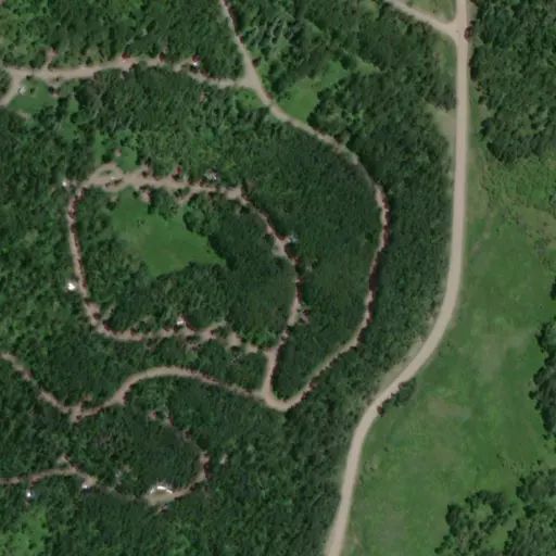
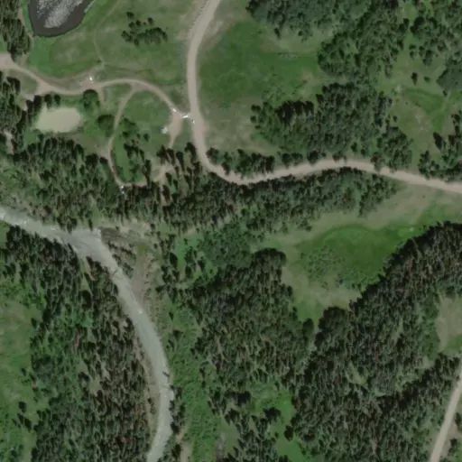
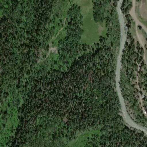
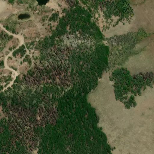
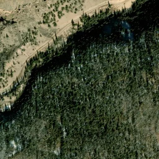
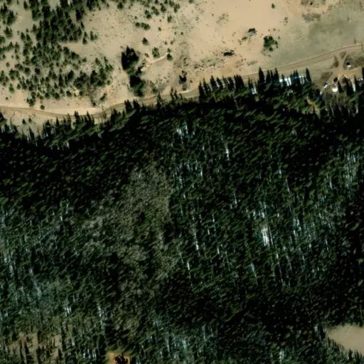
The Ranger Station is located near the end of Forest Service Road 868, adjacent to Blue Creek and Soldier Creek. This beautiful area offers many scenic viewing opportunities, including the Cannibal Plateau and the Uncompahgre Wilderness, and is close to many hiking and fishing opportunities.
Nearby Attractions
The small town of Lake City is located about an hour drive from the cabins, it has two small grocery stores, a gas station, and a few restaurants.