Overview
Coles Point Picnic Shelters are tucked in a small opening surrounded by a hardwood forest. Opportunities abound for hiking, photography, nature study, birding and viewing wildlife. Best of all, Coles Point is perched along Moomaw Lake, providing convenient access to boating, fishing, swimming and relaxing on the beach.Recreation
An inviting swimming beach within the recreation area lures crowds, and the picnic area has an open field for games like Frisbee and soccer.
The park offers boating and fishing for large and smallmouth bass, brown trout, bluegill, crappie, shad, catfish, sunfish and chain pickerel. Two fishing docks, two boat ramps and a swimming beach with a bathhouse are located on-site. Back Creek is nearby, also a nice stream for trout fishing.
The 1-mile Morris Hill Bike Trail is popular among hikers and bikers. The 3-mile Fortney Loop Trail is open to hiking along a path with several switchbacks.Facilities
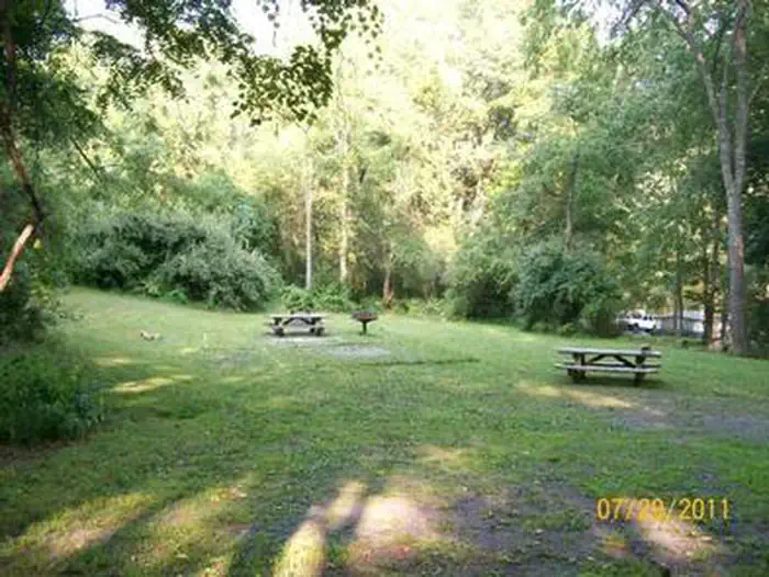
Each shelter can accommodate up to 50 people and 20 vehicles. Eight picnic tables sit on a concrete pad, and several additional tables are scattered around the shelter. Each shelter is also equipped with two large barbecue grills, one electrical outlet, drinking water and flush toilets.Natural Features
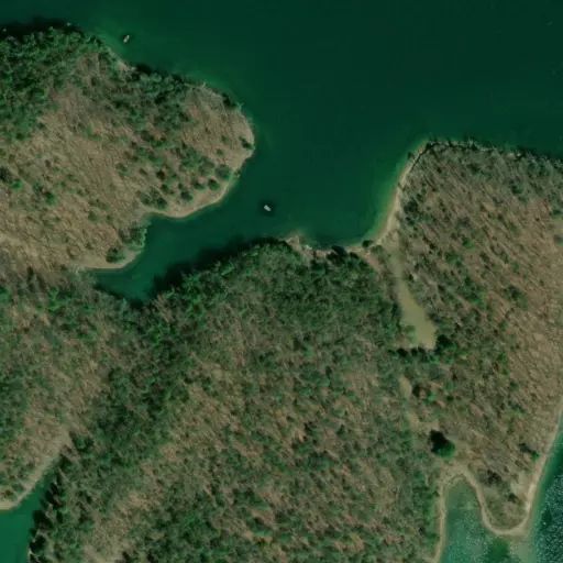
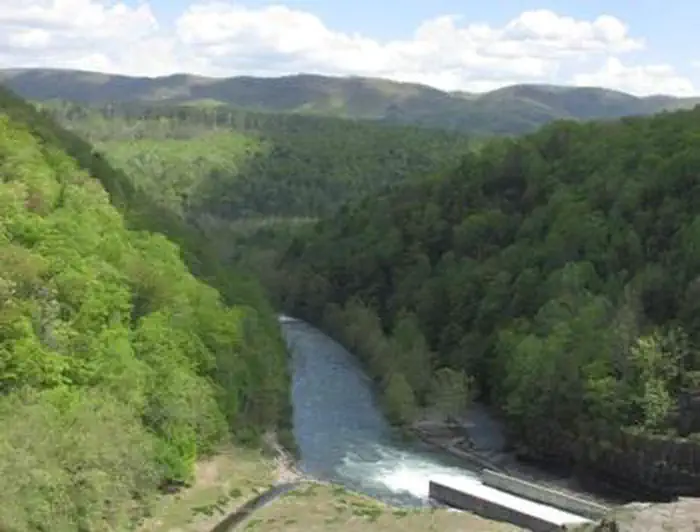
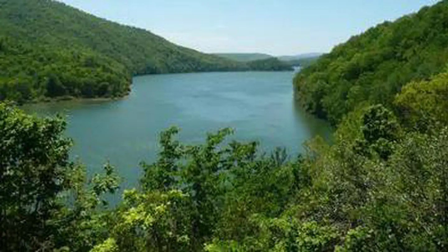
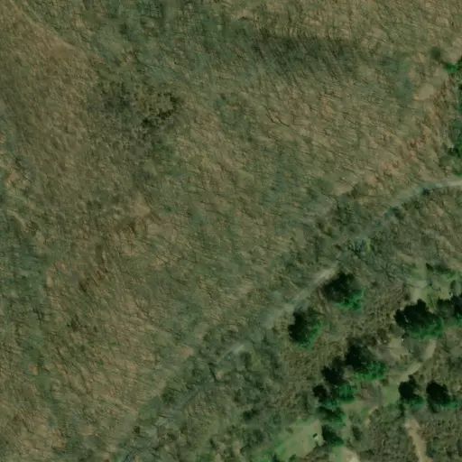
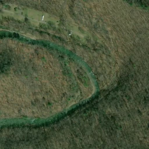
The shelters are situated on a wooded peninsula on the south end of Lake Moomaw in Alleghany County. The manmade lake, at 2,530 acres, sits on the Jackson River and has 43 miles of wooded shoreline.
Coles Point is part of the George Washington and Jefferson National Forests which span across Virginia and parts of West Virginia and Kentucky. These forests protect 40 species within mostly Appalachian hardwood and mixed pine-hardwood forests, 60 species of mammals and 200 species of birds.
Nearby Attractions
Head downstream on the Jackson River for fly-fishing, canoeing, rafting and kayaking. A half-hour east of the lake is Hot Springs, Virginia, a quaint and small rural resort town.
The nearest groceries and gas are located in Covington, Virginia about 30 minutes from the lake. A pay phone is located at the nearby Morris Hill Campground.