Overview
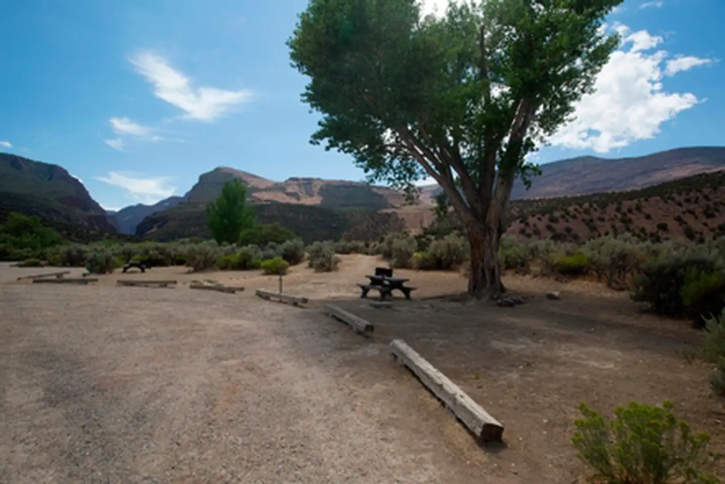
Gates of Lodore Campground is located on the Green River, near the boat ramp at the head of Lodore Canyon. It is at the north end of the monument, 137 miles (220 km) from the Quarry Visitor Center and 106 miles (170 km) from the Canyon Visitor Center. It is a long drive to the area and the wild, remote country adds to its sense of isolation. The campground is popular with river rafters who often stay here before launching on the Green River.
There are 19 sites, some with shade. The sites have tables and some sites have grills while others have fire pits. During the summer, there is running water and vault toilets, but no showers. The campsites can accommodate tents and RVs (no hook-ups). Access in winter may be difficult due to snow and road conditions.
Recreation
Dinosaur National Monument covers over 210,000 acres (84984 ha).
- Visitor Centers. The monument features two visitor centers - one in Colorado and one in Utah.
- Quarry Exhibit Hall. You can see over 1,500 dinosaur fossils still in the rock inside the Quarry Exhibit Hall (Jensen, Utah).
- History & Culture. Numerous cultural sites reveal stories of the people who lived here before and include Fremont petroglyphs, homestead cabins and former ranches. Hiking trails allow in-depth exploration.
- Hiking. There are miles of trails for hiking and cross-country travel.
- River Rafting & Boating. Whitewater rafting, both commercial and private, are is popular on the Green and Yampa Rivers. The Yampa River multi-day rafting trips begin at Deerlodge Park. The Yampa rushes downstream 44-miles (71 km) to join the Green River at Echo Park. Boaters continue downstream on the Green River to the take-out at the Split Mountain boat ramp. The Yampa is the largest free-flowing tributary within the Colorado River system. As such, it has a shorter season marked by fluctuations in water level resulting from snow received in the winter. It is characterized by famous rapids such as Teepee, Big Joe and Warm Springs. Raft trips must be arranged in advance. For more information, visit Dinosaur's Commercial Guided River Trips page . Private River Trips require a permit.
- Scenic Drives. Several roads provide access to key destinations and scenic sites. Scenic drives allow the windshield visitor to see spectacular geology.
Facilities
Gates of Lodore campground has vault toilets and drinking water spigots (seasonal). All campsites have picnic tables, some have a grill and others a campfire ring
Natural Features
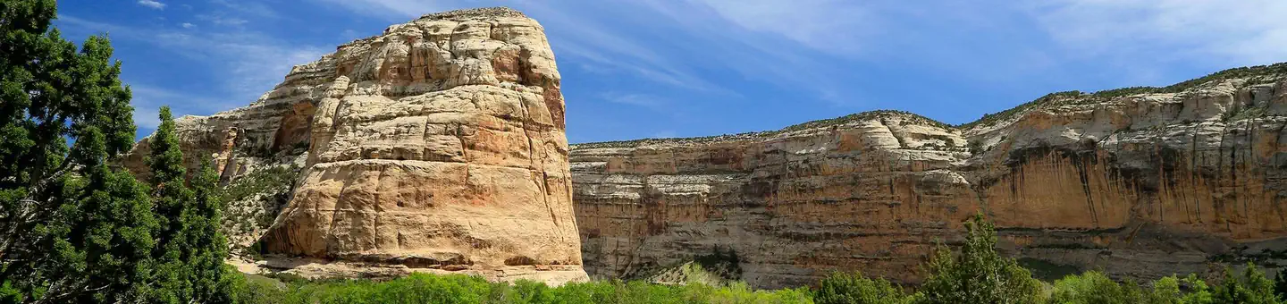
Just south of the campground, the Green River slices into the mountains and enters the steep-walled Canyon of the Lodore. A short trail provides a scenic view of the river as it enters the gates.
Nearby Attractions
Charges & Cancellations
This is a Scan & Pay campground. No refunds, changes, cancellations, or other fee changes are allowed with Scan & Pay payments.