1 of 15 photos
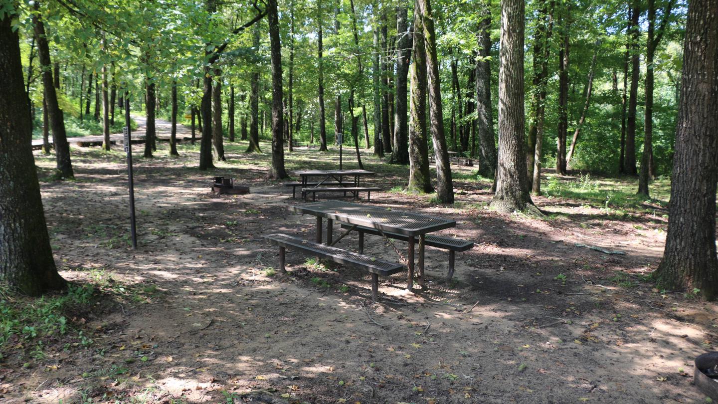
Steel Creek Campground
Directions
**From Fayetteville, Arkansas** drive north and take US Highway 412 East for
approximately 42 miles (67.5 km) to the intersection with State Highway 21.
Take highway 21 South for approximately 17 miles (27 km) to the intersection
of State Highway 43. Here, take highway 43 East for about 5 miles (8 km) to
the intersection of State Highway 74. Here, turn right onto highway 74 and
drive about 2 miles (3.2 km) to Steel Creek Road. Turn left and drive
approximately .5 miles (.8 km) down into the campground. At the bottom of the
hill the main campground will be to your left and the horse camp will be to
your right.
**From Little Rock, Arkansas** take Interstate 40 West for approximately 93
miles (150 km) to Exit 64. At Exit 64 take Business Highway 64 west through
the town of Lamar for about 4 miles (6.5 km) to the intersection of State
Highway 21. Take Highway North for about 48 miles (77 km) to the intersection
of State Highway 43. Here, take highway 43 East for about 5 miles (8 km) to
the intersection of State Highway 74. Here, turn right onto highway 74 and
drive about 2 miles (3.2 km) to Steel Creek Road. Turn left and drive
approximately .5 miles (.8 km) down into the campground. At the bottom of the
hill the main campground will be your left and the horse camp will be on your
right.
**From Springfield, Missouri** take US Highway 65 South for approximately 70
miles (112.6 km) to the town of Harrison. In Harrison, take State Highway 7
South about 1 mile (1.6 km) through downtown Harrison until you come to the
intersection of State Highway 43 on your right. Follow highway 43 for about 25
miles (40 km) until to get to the intersection of State Highway 74. Turn left
onto highway 74 and drive about 2 miles (3.2 km) to Steel Creek Road. Turn
left and drive approximately .5 miles (.8 km) down into the campground. At the
bottom of the hill the main campground will be your left and the horse camp
will be on your right.
Reviews
Popularity
Very quiet · 19%
Location