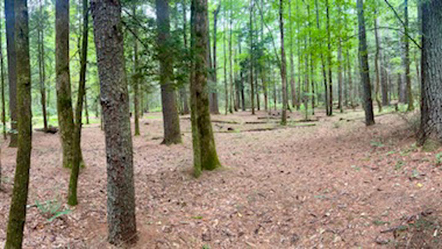
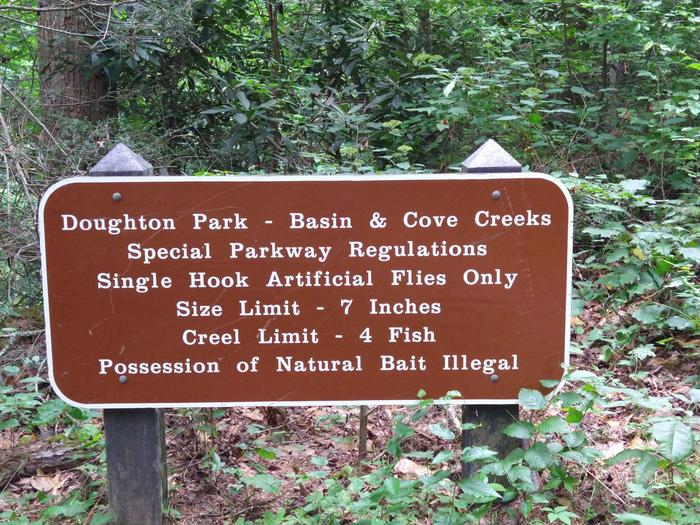
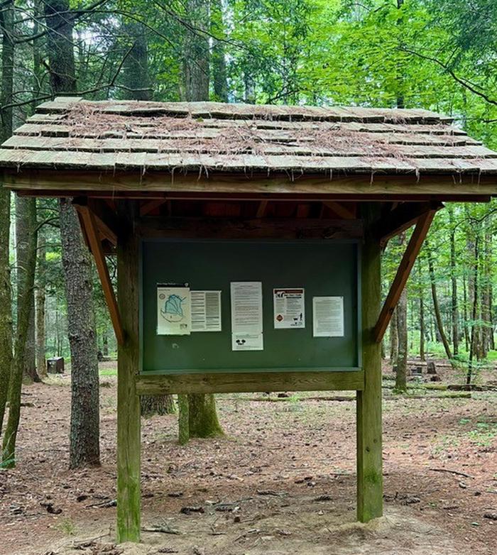
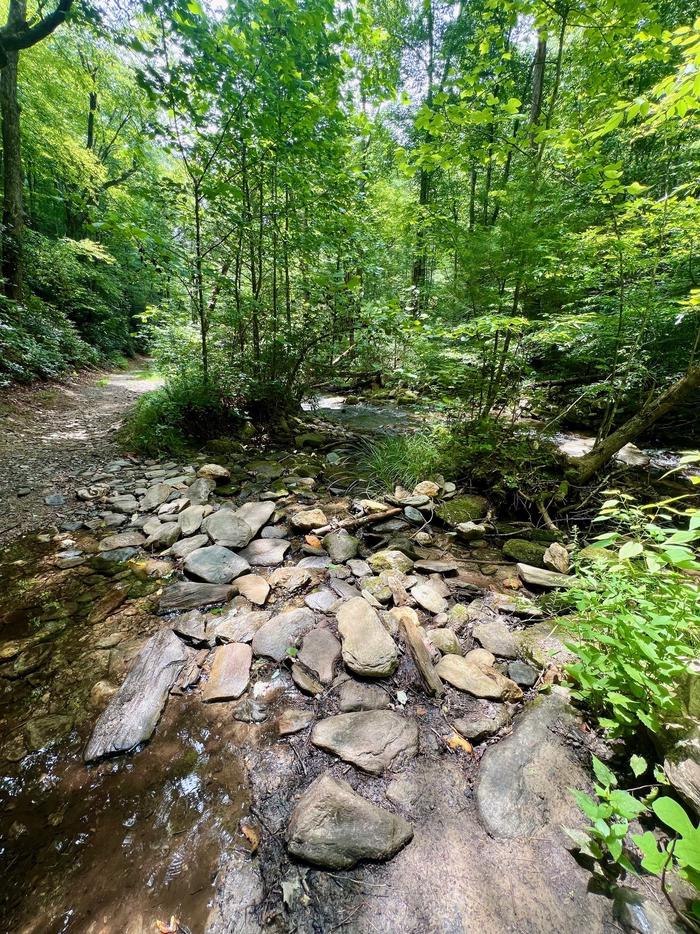
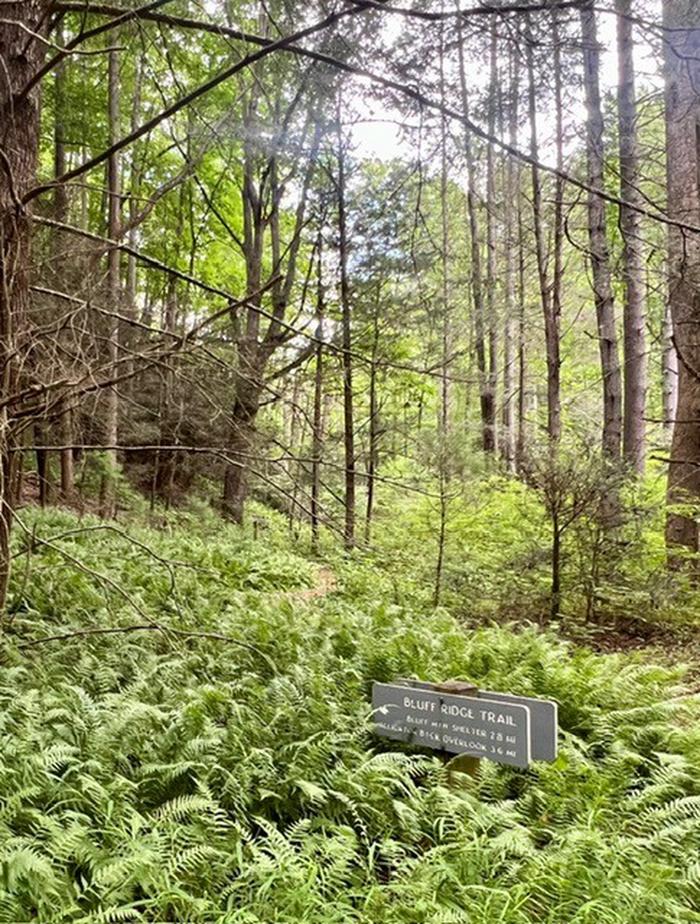
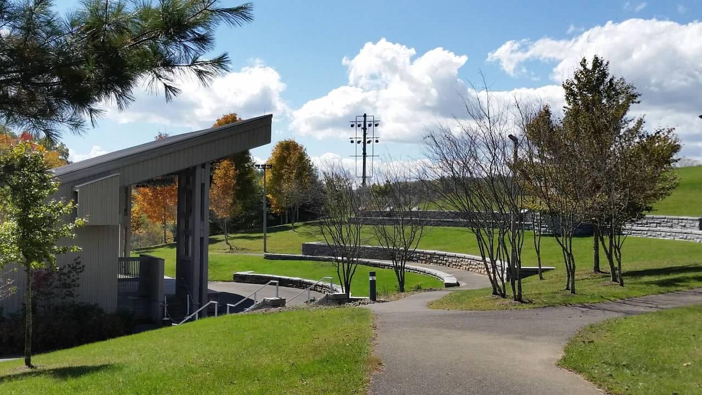
1 of 13 photos
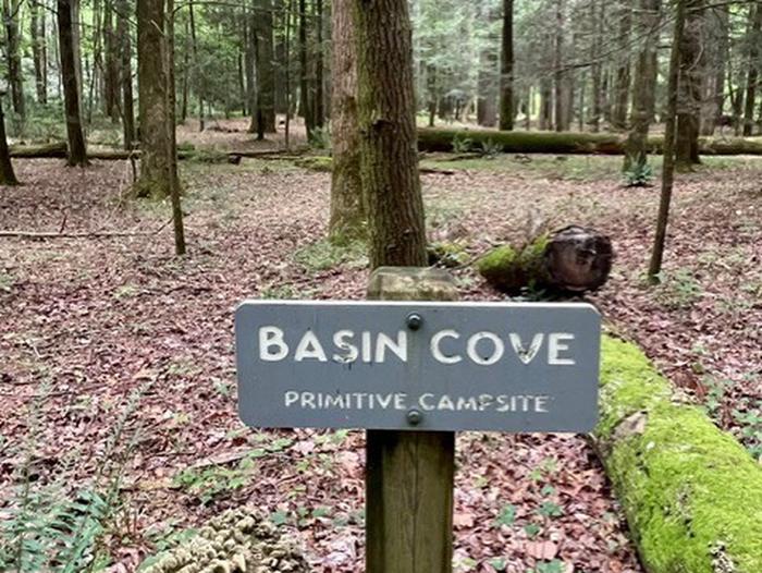
Basin Cove Backcountry Camping
Directions
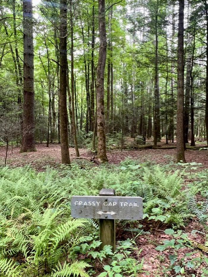
**Grassy Gap Fire Road on Long Bottom Road is the shortest and easiest route
into the backcountry.**
Long Bottom Road from Blue Ridge parkway
· From the Blue Ridge Parkway, Head South on NC 18 for 6.2 miles.
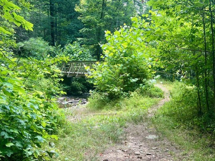
· Turn Left on Longbottom Road and go 6.4 miles to a small Bridge with Black &
Yellow Marker signs.
· Parking Area (36.3752 -81.1447) is beside the Bridge. Elevation 1440.
· Trail to Basin Cove Primitive Camping Area is across the Road from the
Parking Area. Look for gated road.
**Note:**
**Long bottom road can be accessed from other routes.**
1/ Basin Cove from Wilkesboro, NC
From US Hwy 421 in Wilkesboro, take Hwy 18 North towards Sparta. Travel
approximately 17.6 miles to Longbottom Road in the community named McGrady.
Turn right on Longbottom Road and go 6.4 miles to a small Bridge with Black &
Yellow Marker signs.
2/ Alternative routes from the east include US hwy 21 and from Stone Moutain
State Park.
**Other locations to park are along the Blue Ridge Parkway as follows:**
Bluff Mountain Overlook - Milepost 243.4 (36.408341666666 -81.195863888888)
Basin Cove Overlook - Milepost 244 (36.391030555555 -81.20025833333)
Grassy Gap Fire Road - Milepost 243.9 (36.404694444444 -81.19649722222)
Bluff's Restaurant - Milepost 24 (36.433525000000 -81.17739166666)
Doughton Park Picnic Area - Milepost 241 (36.433525000000 -81.17739166666)
Brinegar Cabin - Milepost 238.5 (36.419452777777 -81.14617222222)
Reviews
Location
