Overview
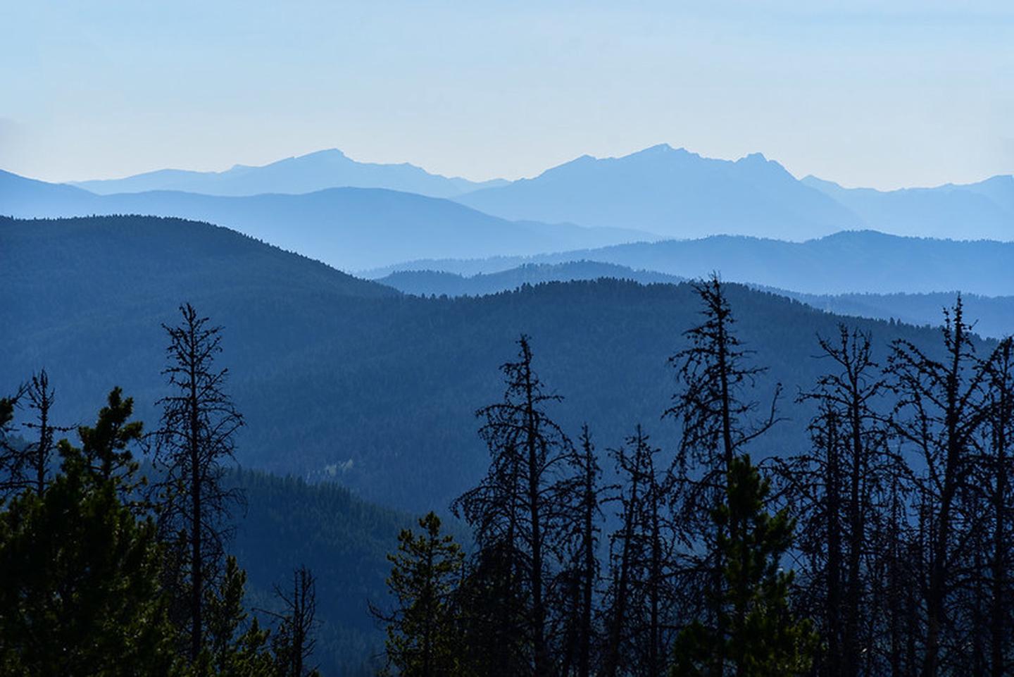
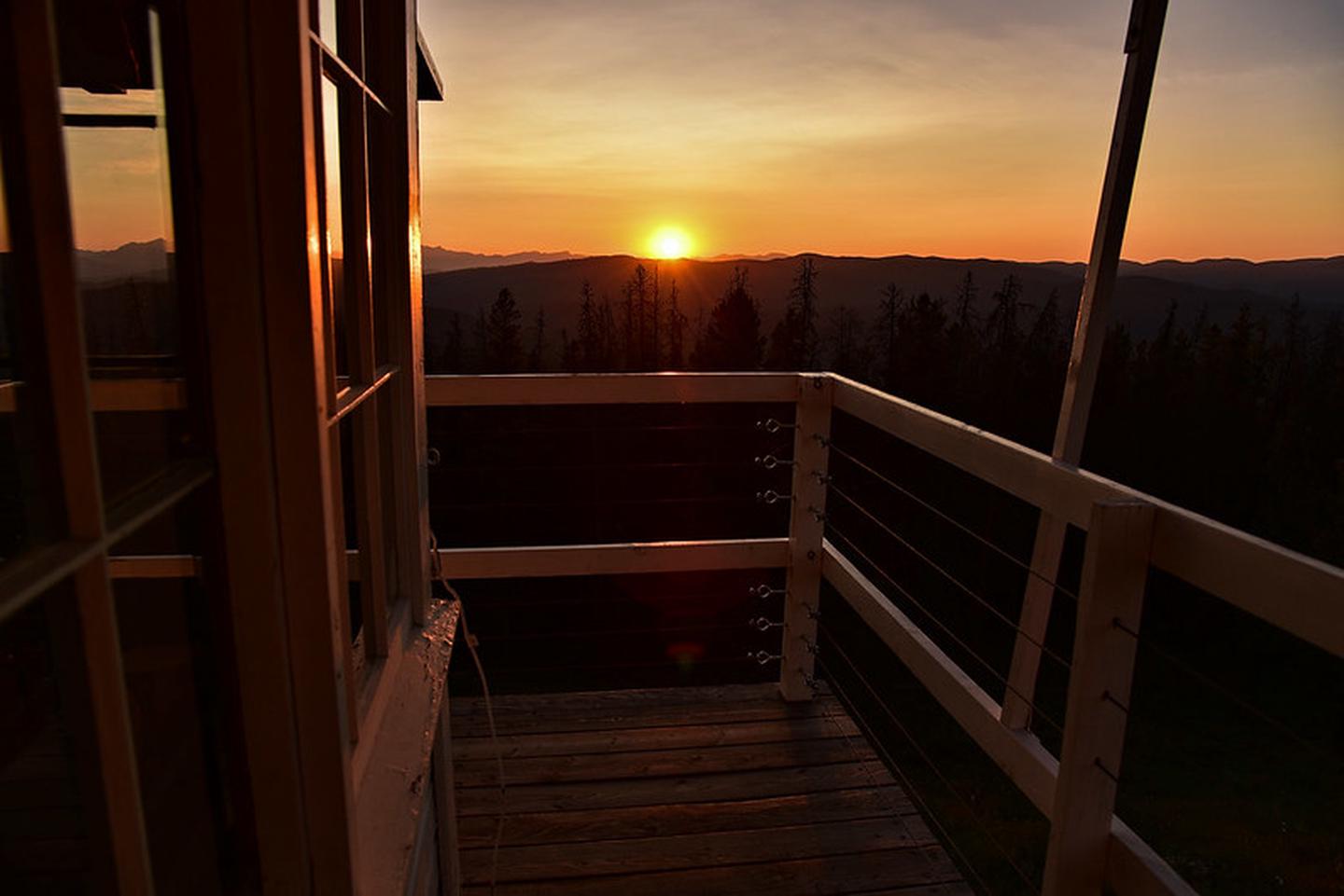
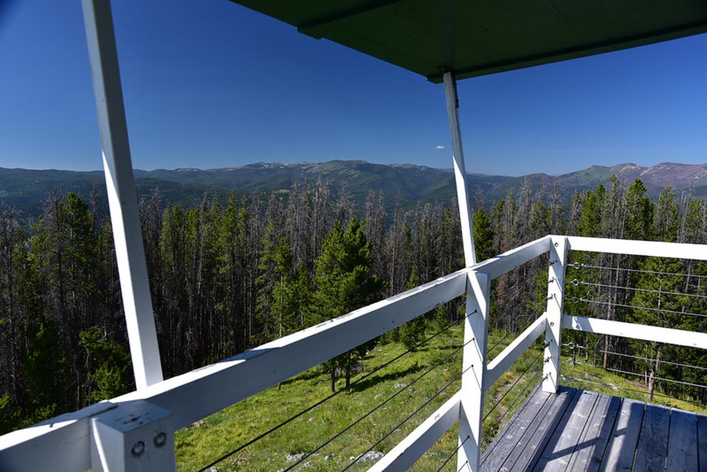
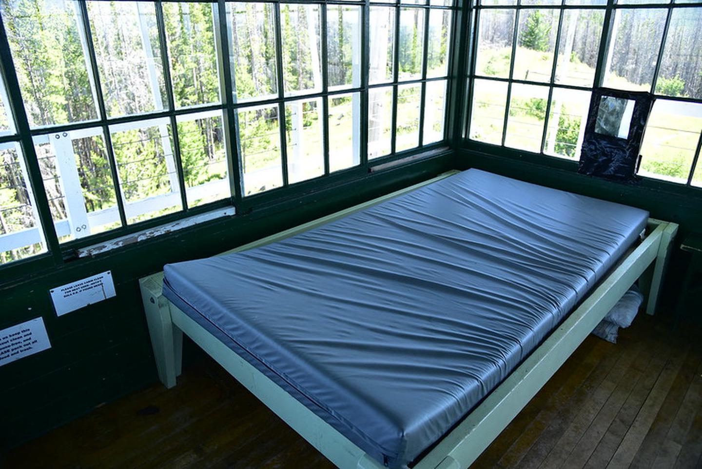
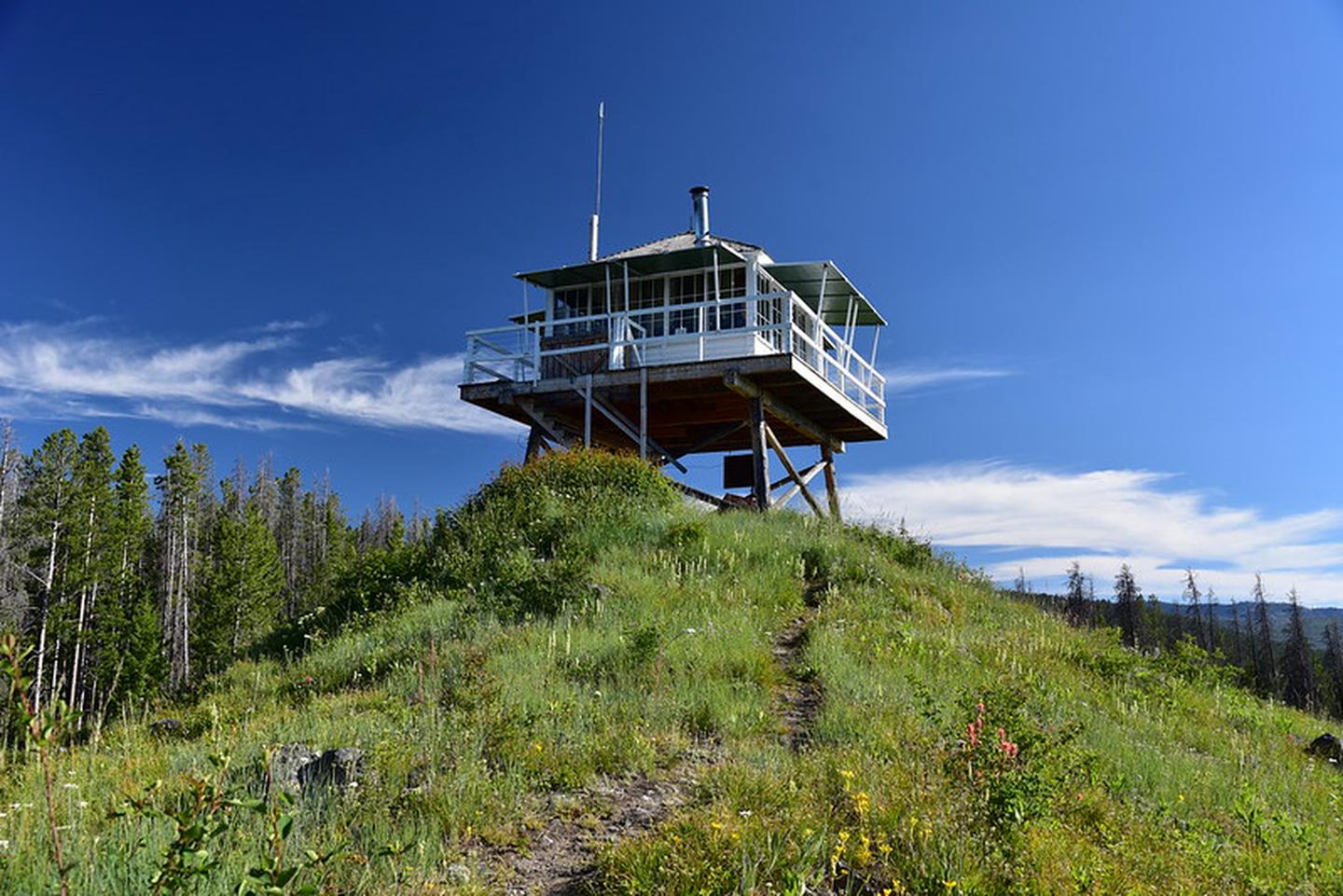
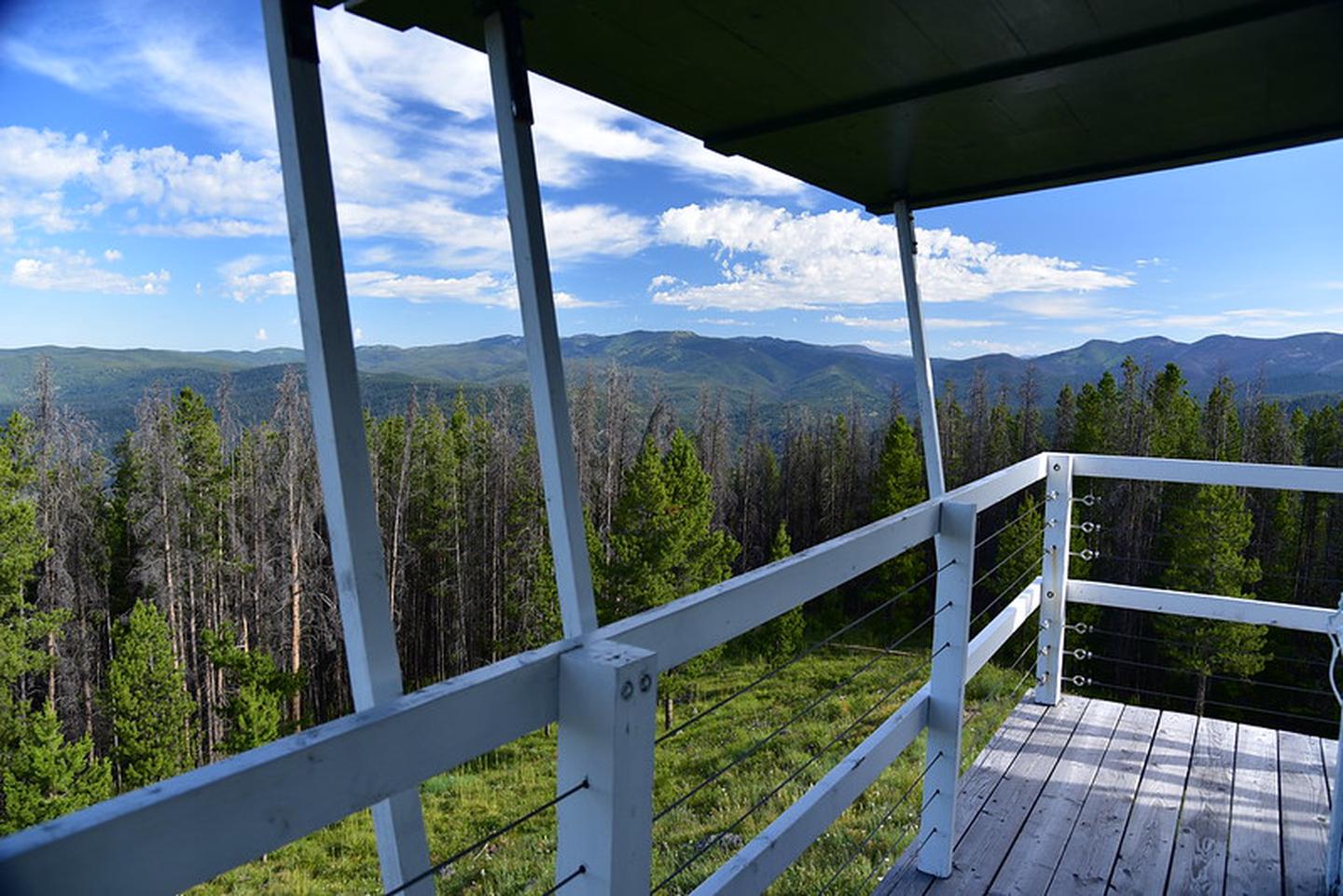
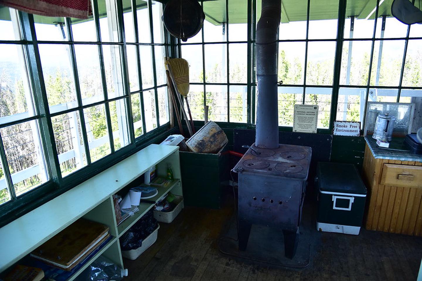
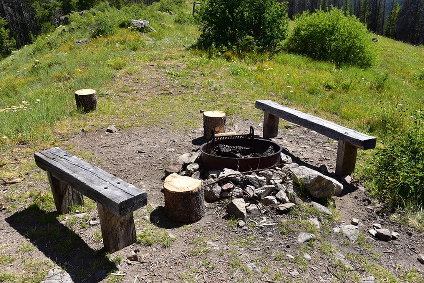
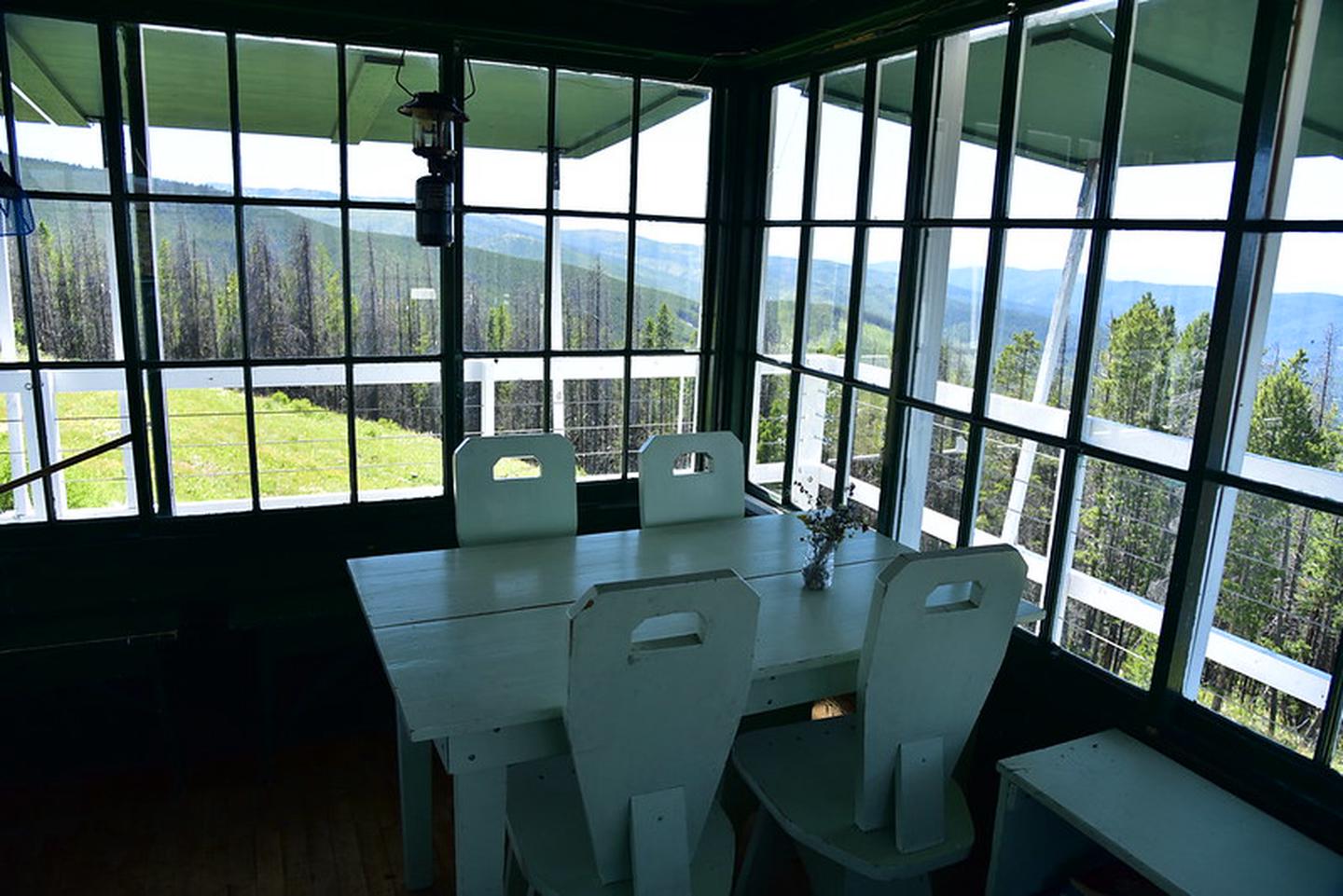
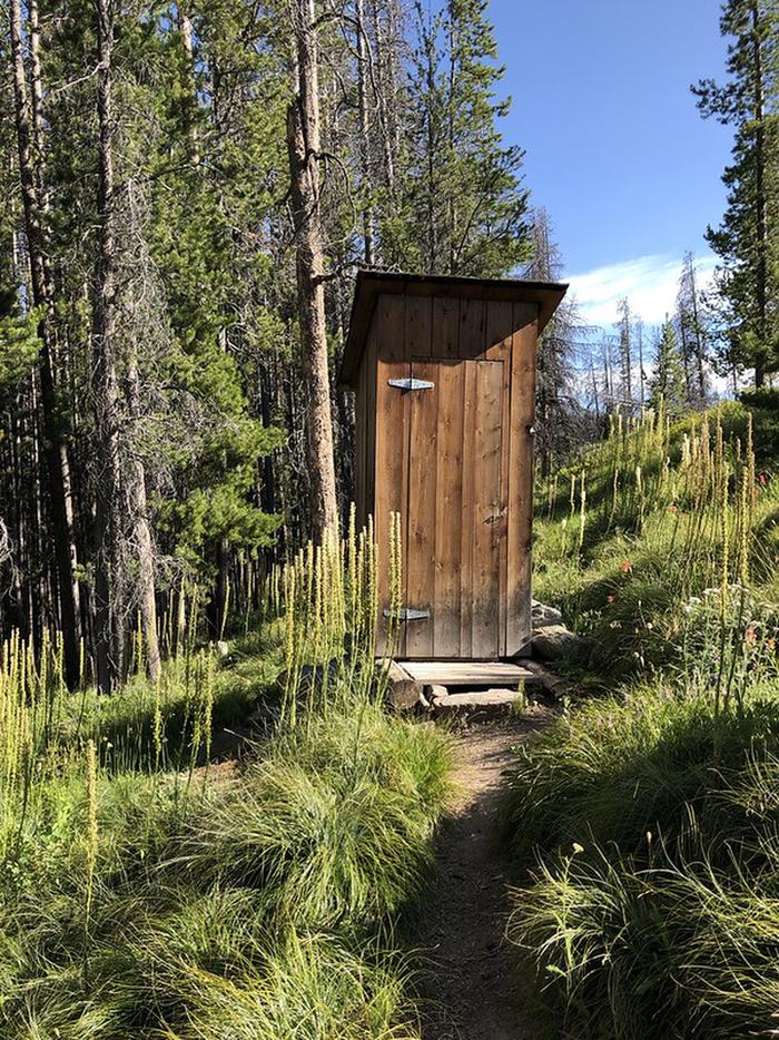
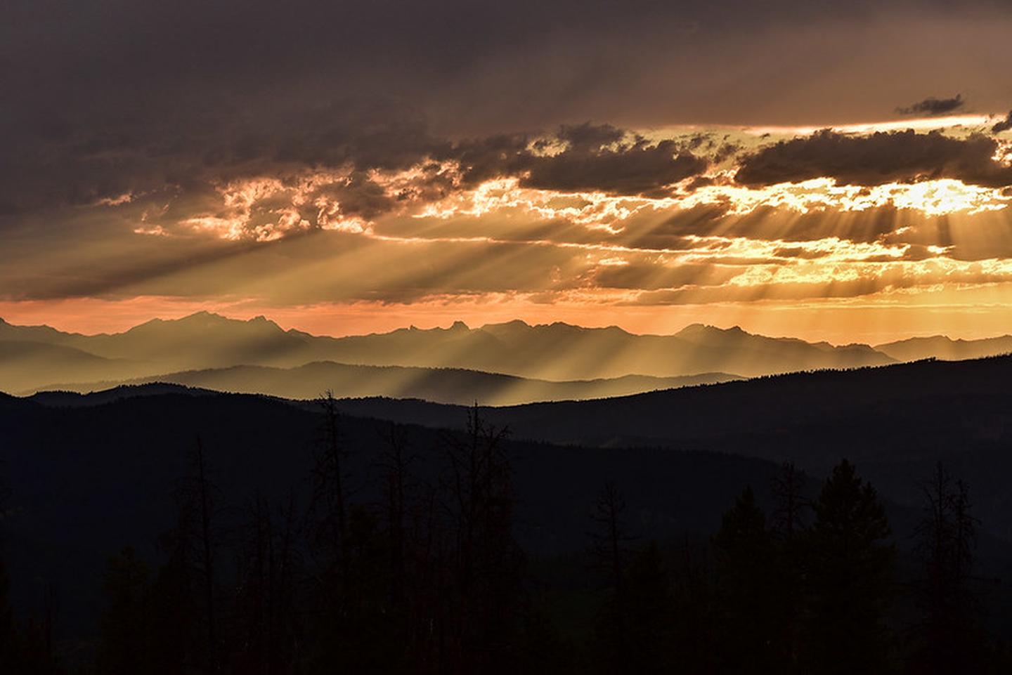
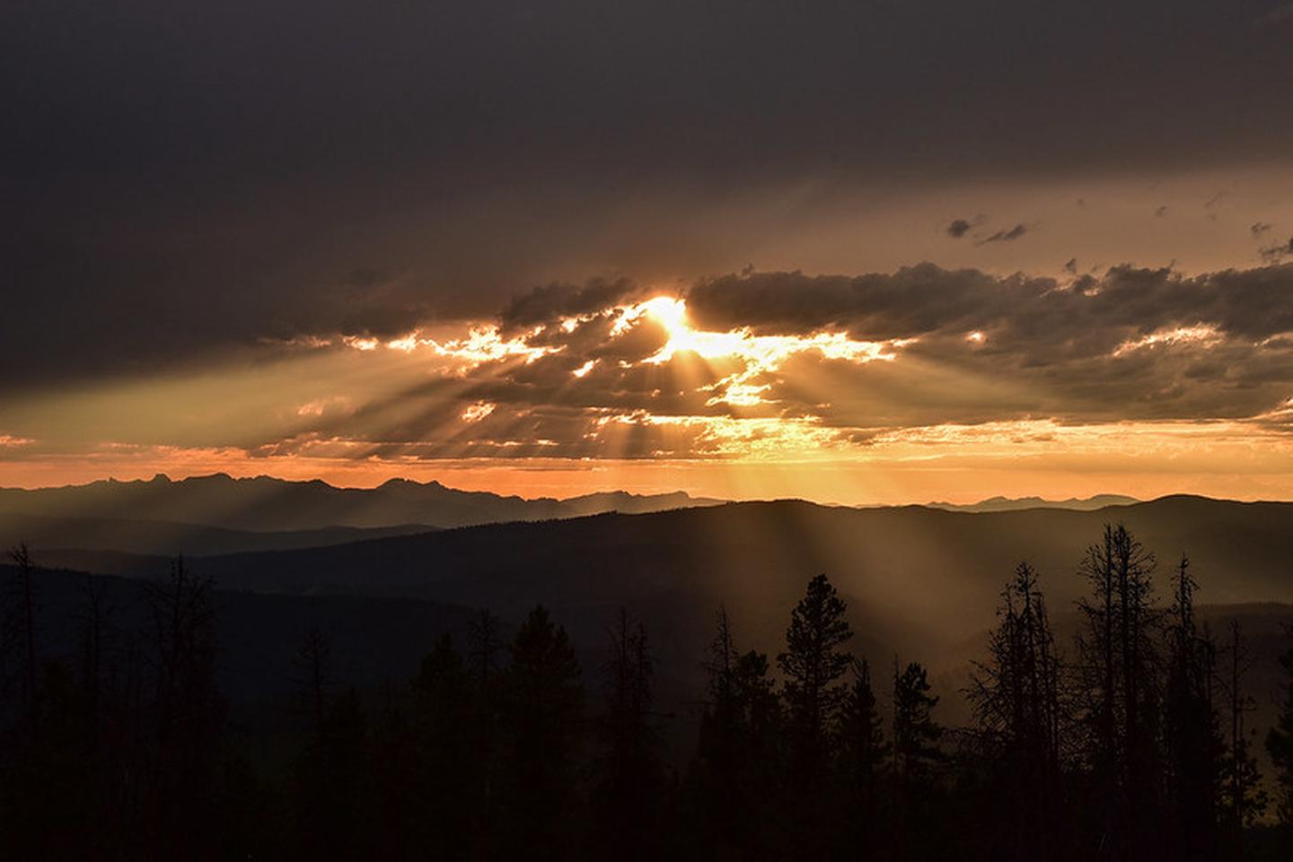
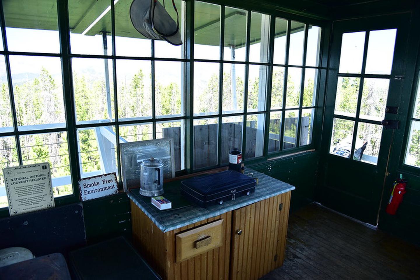
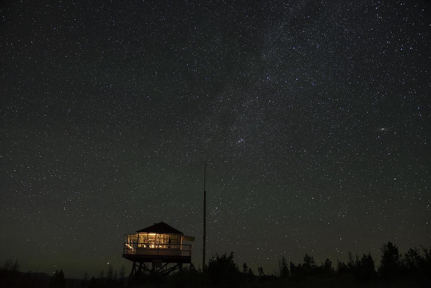
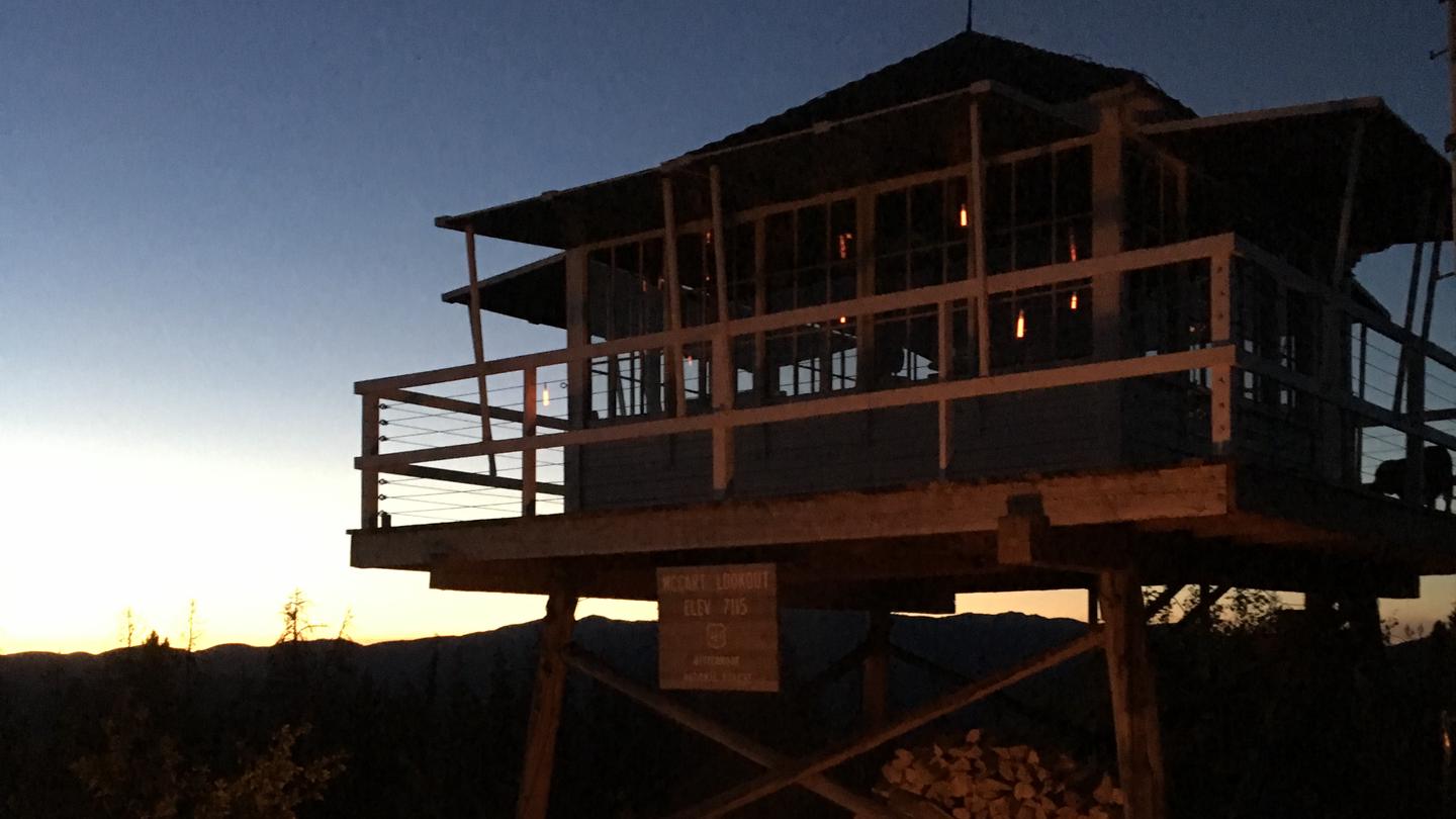
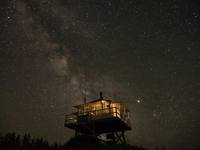
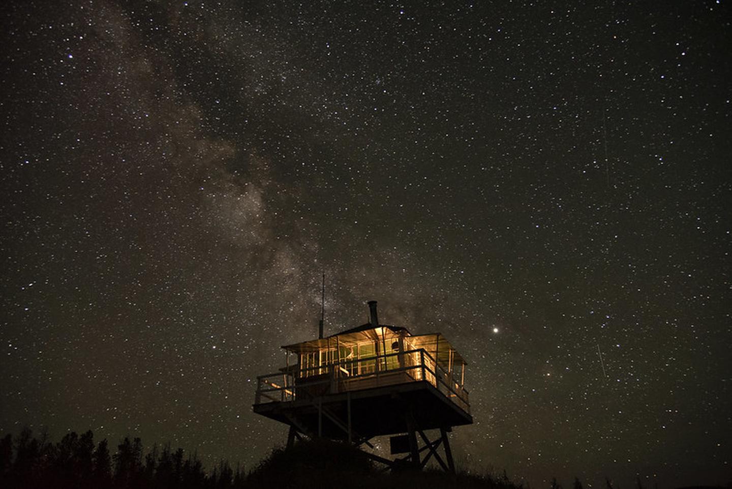
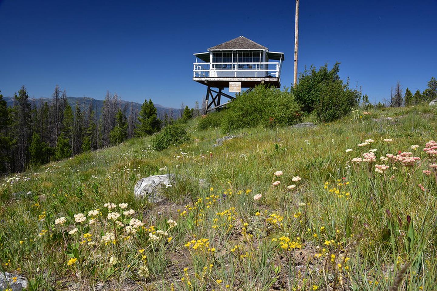
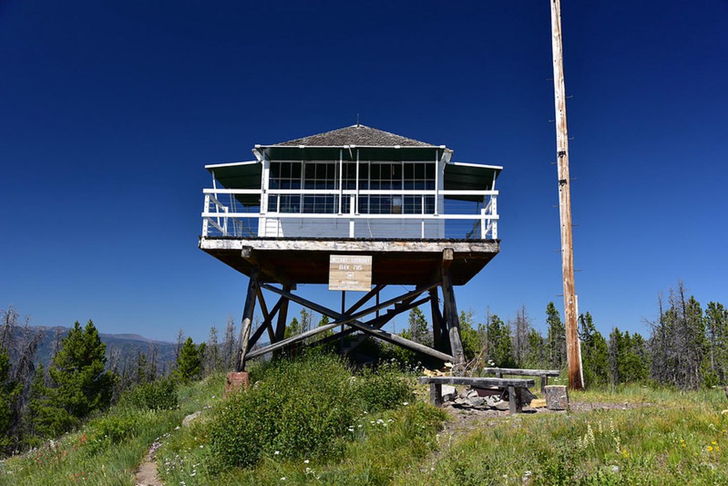
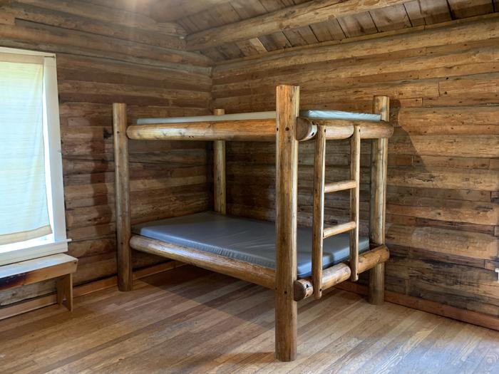
McCart Lookout is a historic tower located on McCart Peak, east of Sula. It has been restored to reflect a lookout of the 1940s, including the stove, furniture, dishes and other small touches. It offers a unique chance for visitors to camp on a mountain peak, on the border of the Anaconda-Pintler Wilderness, in a rustic, old-time setting. The tower provides spectacular views of the surrounding western Montana wilderness.
Recreation
The trail to reach the tower continues south and joins the Continental Divide National Scenic Trail, which extends 3,100 miles across the United States, from the borders of Mexico to Canada. While it might take about six months to complete, a variety of day hikes and points of exploration are available within the area of the lookout tower. Trails can be enjoyed on foot or on horseback. Backpackers also enjoy the terrain.
Aside from hiking and horseback riding, the area is replete with wildlife and offers scenic views. A lookout journal is kept inside, providing instructions of what to do in case of emergency or a storm. Danger from lightning is largely abated due to a lightning rod implanted at the structure.Facilities
The trail to reach the tower continues south and joins the Continental Divide National Scenic Trail, which extends 3,100 miles across the United States, from the borders of Mexico to Canada. While it might take about six months to complete, a variety of day hikes and points of exploration are available within the area of the lookout tower. Trails can be enjoyed on foot or on horseback. Backpackers also enjoy the terrain.
Aside from hiking and horseback riding, the area is replete with wildlife and offers scenic views. A lookout journal is kept inside, providing instructions of what to do in case of emergency or a storm. Danger from lightning is largely abated due to a lightning rod implanted at the structure.Natural Features
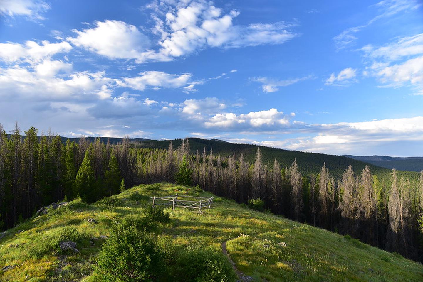
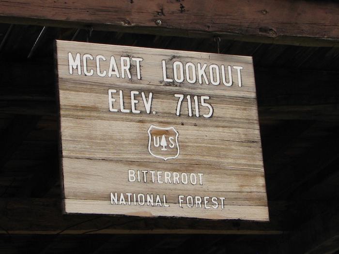
The tower is situated east of the Bitterroot Valley, at an elevation of 7,115 feet. It was named for William McCart, who settled the area but failed to complete his homestead entry to patent. It is poised on the edge of the Anaconda-Pintler Wilderness and offers beautiful views of the Pintler Mountains to the east and the Bitterroot Mountains to the west.
The Bitterroot forest is home to many species of wildlife, from mule deer, whitetail deer, elk, bighorn sheep, mountain goats, black bear, mountain lions, and moose, to many varieties of smaller animals and birds.
Nearby Attractions
A variety of natural hot springs exist in the area, including the the Lost Trail Hot Springs, which is located about 13 miles northwest of the tower. It provides swimming and additional amenities, including a general store and lodging.