1 of 18 photos
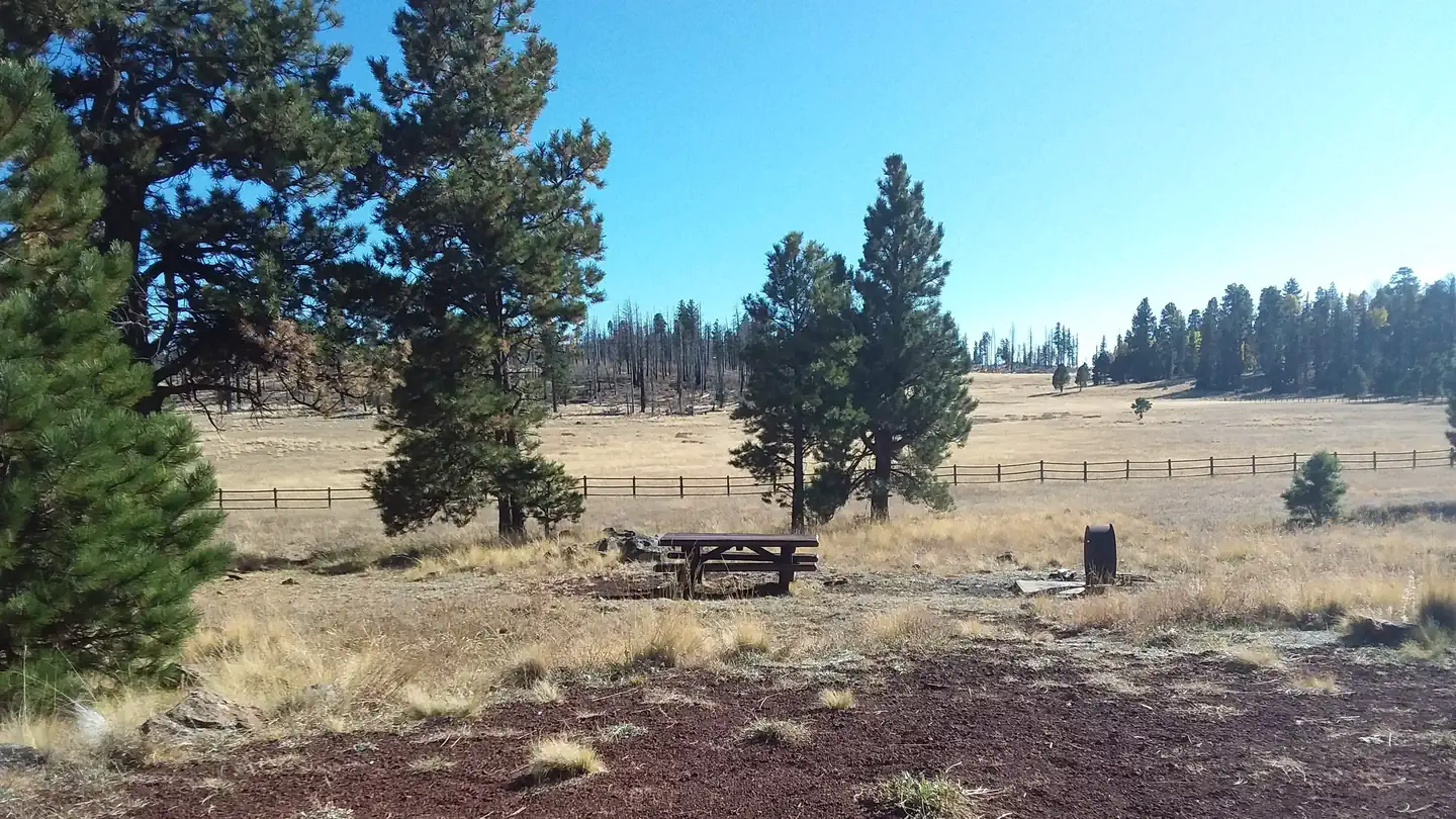
Caldwell Cabin
Directions
Caldwell Cabin is located approximately 30 miles southwest of Alpine, Arizona
and is accessible via Forest Service roads 26 or 276. From Springerville, take
U.S. Highway 180/191 to the town of Alpine. Continue south on Highway 180/191
for about 15 miles, towards Hannagan Meadows. Turn right on Forest Service
Road 26, at mile marker 240, and continue approximately 11 miles to the
intersection. Turn right onto Forest Service Road 24 and go approximately
three miles to the junction of Forest Service roads 25 and 276. Turn left and
go just over a mile to Forest Road 25H. Turn left and proceed about one mile.
At the sign for Caldwell, turn left. Open the gate with the combination
padlock provided. The key for the cabin is inside the padlock. Keep the gate
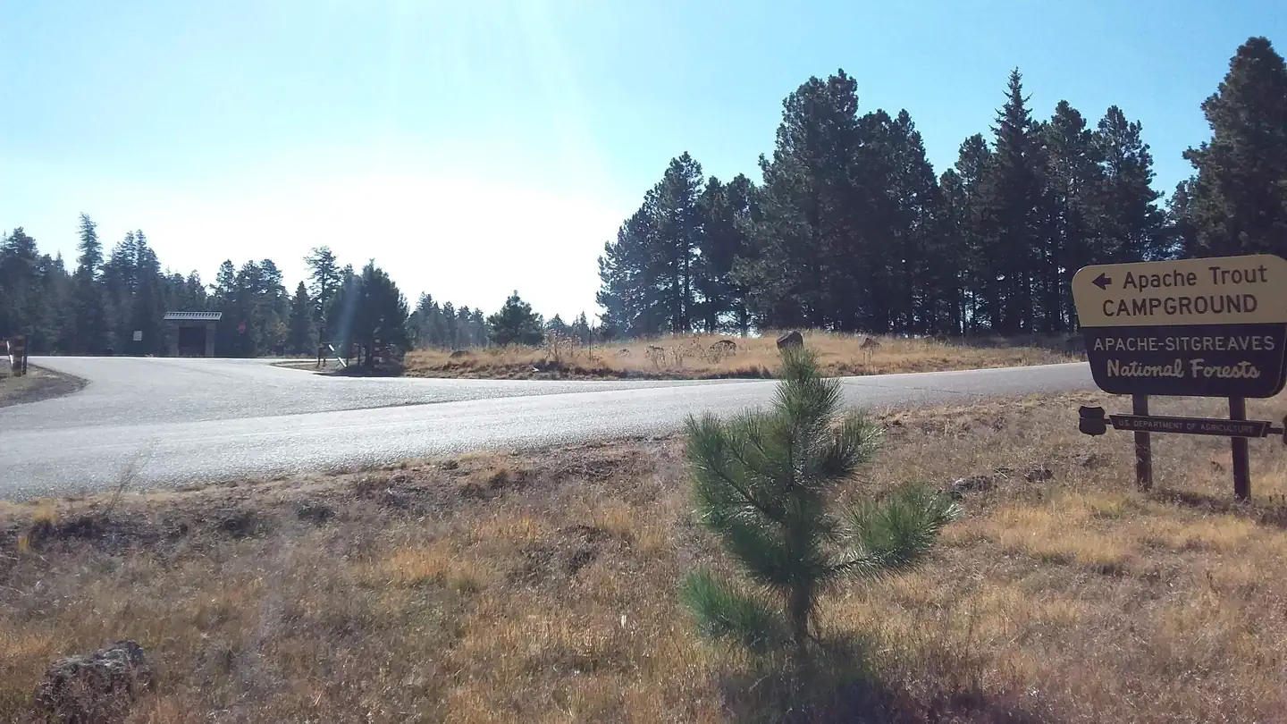
closed and locked at all times. All Forest Service roads are gravel. From
Clifton, travel north on U.S. Highway 180/191 for approximately 55 miles. The
road is paved and is extremely curvy, gaining 4,500 ft. in elevation; use
caution and drive slowly (allow three hours from Clifton to the first
turnoff). Vehicles longer than 40 feet are not allowed on the lower portion of
180/191. Turn left on Forest Service Road 26, at mile marker 240 and follow
approximately 11 miles to the intersection. Turn right onto Forest Service
Road 24 and continue approximately three miles to the junction of Forest
Service roads 25 and 276. Turn left and go just over a mile to Forest Road
25H. Turn left and proceed about one mile. At the sign for Caldwell, turn
left. Open the gate with the combination provided. The key for cabin is inside
the padlock. Keep the gate closed and locked at all times. All Forest Service
roads are gravel.
Reviews
Popularity
Very busy · 96%
Location